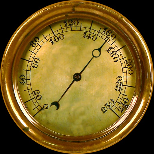
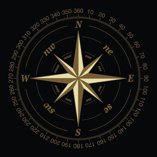
Customize dashboards with configurable gauges like speedometer, odometer, GPS altimeter, barometric altimeter, accelerometer, artificial horizon, compass, and elapsed time. Swipe to switch views and access real-time sensor data from iPhone or iPad.
by Kevinnovate, LLC★ 4.513 ratingsNavigationFreeData updated 2026-09-23
Navigation provides altitude, barometric pressure, and compass readings. Measures humidity, rainfall, and temperature. Includes magnifying glass, metronome, ruler, and spirit level. Displays speed, vertical speed, and VU meter.
Navigation provides GPS tracking, map navigation, and route planning. Includes tools, field manuals, and live conflict updates. Users can access guides, track locations, and receive real-time news.
Allow users to explore locations without an internet connection. They include detailed global with millions of points of interest. Users can download for use and bookmark favorite locations. GPS tracking enables recording of travel routes.
Monitor speed and distance with real-time GPS tracking. Switch between car and bike cyclometer. View average and max speed. Adjust units to mph or km/h. Check GPS accuracy and distance precision. Track time elapsed and altitude.
Track and altitude without an internet connection. Receive alerts for rapid drops. Monitor altitude changes and weather patterns. Log data for later review. Sync measurements with other devices.
Measure altitude using barometric pressure and GPS data. Display altitude in feet and meters with real-time accuracy. Calibrate sensor and switch between day and night display modes.
Track speed with a graphical dashboard and analog/numeric display. View current location, weather, and temperature in Celsius or Fahrenheit. Switch between kilometer and mile units. Customize dashboard colors and use an analog compass.
Provides readings using either device GPS or the ASTER digital elevation model. Displays accurate elevation data with a horizontal accuracy of 30 meters. Functions on devices without a GPS sensor.
Navigate using drive and walk routes with real-time time and distance calculations. Search by address, place, or coordinates. View satellite maps and direction. Share locations, use compass, and track GPS.
View and manage files with customizable map displays. Import files from cloud services, local devices, or emails. Choose between Apple Maps, Google Maps, OpenStreetMaps, or custom tile sources. Adjust colors for waypoints, track points, and routes.
Calculate sunrise, sunset, moonrise, and moonset times for your location. Track solar noon, day length, and equation of time. View declination, twilight phases, and azimuth angles. Monitor seasonal dates, solstices, and equinoxes.