

Apps Like Virtual Dashboard for iPhone and iPad
Customize dashboards with sensor data
Customize dashboards with configurable gauges like speedometer, odometer, GPS altimeter, barometric altimeter, accelerometer, artificial horizon, compass, and elapsed time. Swipe to switch views and access real-time sensor data from iPhone or iPad.
Virtual Dashboard screenshots
Ranked alternatives
Showing 621–640 of 1,000 ranked alternatives.


RallyBlitz Nav
PepeRico, LLC
Rally racing navigation instrument for motorcycles.
The app offers an adjustable odometer and a CAP heading compass on its home screen. It is suitable as a primary or backup navigation device for rally racing.


GPSRecorder
Cyril Godefroy
Record location, track movement, geotag photos
Records position, distance, and duration during use. It tracks movement and geotags external photos. Users can review tracks on a map, view speed and distance, and export data as GPX files for other software.

MileMaps - Offline GPS
文亮 张
Track activity, record routes, navigate terrain
Track outdoor activity with GPS navigation, add waypoints and routes for navigation. Plan routes with altitude data and adjust as needed. Capture moments and save maps for future reference.


Repromap
Inside Outside Studios Inc.
Find map layers and track your location
Access real-time location data and choose from over 70 map layers for detailed boundary and land ownership info. View satellite, topographic, hybrid, and road maps. Set permissions and contact details for areas you visit.

GPS Fields Area Measure App
Gohel Prakashbhai
Areas, track routes, and navigate efficiently
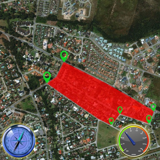
Calculate distances and areas using GPS. route lengths and track movement. Access GPS Camera, Compass, and Speedometer for navigation. View Satellite, Normal, Terrain, and Hybrid maps. Locate nearby points of interest and monitor live positions.


Measure Map GPS Field
Tigran Mkhitaryan
Areas and routes on the map
Distances, areas, and routes on maps using standard, satellite, terrain, and hybrid views. Calculate total area between points or along a route. Display coordinates in UTM and MGRS formats.


How we rank alternatives
Apps are ranked by functional similarity, category fit, rating confidence, and popularity.