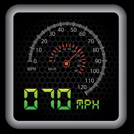
Customize dashboards with configurable gauges like speedometer, odometer, GPS altimeter, barometric altimeter, accelerometer, artificial horizon, compass, and elapsed time. Swipe to switch views and access real-time sensor data from iPhone or iPad.
by Kevinnovate, LLC★ 4.513 ratingsNavigationFreeData updated 2026-09-23
Detect cameras and microphones by scanning Bluetooth devices and Wi-Fi networks. Identify suspicious lenses using magnetometer data. Lock and disable detected devices to secure personal space.
Track cycling performance with real-time speed, distance, and route data. Choose from digital, analog, or map displays. View ride history and manage past rides. Automatically pause timing when stationary. Swipe to switch between displays.
Track precise location with Decimal Degrees, DMS, UTM, and MGRS formats. Access topographic maps and route planning. Set waypoints and measure distances. Share coordinates via email or messaging. Sync with GPS devices for real-time navigation.
Track with GPS accuracy for driving, cycling, skiing, running, and boating. View real-time data and historical logs. Set limits and receive alerts. Export trip data and share records. Sync with fitness apps for activity tracking.
The app provides a heads-up display for a car, offering GPS-based speed information with MPH and KPH options. It includes digital and standard font modes, 12 and 24-hour clock options, and portrait and landscape orientations.
Display speed and heading with GPS accuracy. Show location of nearby speed cameras. Change speed units, prevent screen lock, and enable speed camera alerts in settings.
Capture and stamp photos with GPS position, direction, altitude, and timestamp. Add notes including project name, photo description, company or username, and logo via in- purchase. Overlay location data directly on images for accurate documentation.
Capture photos with geotagging, date-time, and location data including latitude, longitude, altitude, weather, and compass. Add timestamp watermarks to real-time photos. Share geotagged images with others.
The app replaces cockpit panels for Flight Simulator aircraft, offering a general aviation 6-pack display. It features smoothly animated gauges synced with simulators and a customizable layout.
Search for points of interest using a 3000+ database filtered by distance. View results on an interactive map with detailed information. Access nautical charts, regulatory details, marina locations, and yacht services.
Calculates air density, relative humidity, and air pressure automatically. Displays geographic position, temperature, dewpoint, elevation, and barometric pressure. Supports airport and manual input modes.
Calculate land using GPS coordinates. Draw shapes on maps to fields or plots. Add GPS stamps to photos with location, time, weather, and compass data. View live maps and magnetic information.
Track location data without internet connectivity. View date-wise location history on your . Access current location to record movement. No personal data is uploaded or shared. Monitor activity logs directly from the .
Display speedometer in digital or HUD mode with compass, odometer, and distance traveled. Show trip information including driving score based on acceleration. Track eco-driving metrics and weather data.
Calculate pressure and density altitudes, true airspeed, and mach number. Determine wind correction angle and true heading. Compute crosswind, headwind, and tailwind. Find ground speed and flight time. Calculate fuel burn and cloud base.