Apps Like 徐州地铁通 - 徐州地铁公交路线查询app for iPhone and iPad
Navigate with real-time metro updates
Access real-time subway data and accurate arrival alerts for precise scheduling. Search for routes between locations with detailed options including time, cost, and distance.
by 宇舟 高★ 4.553 ratingsNavigationFreeData updated 2026-09-22
Track shipment status in real time. Send updates and receive notifications. Share load details with customers and dispatch. View route maps and estimated arrival times. Communicate without voice calls.
The app provides real-time, location-based guidance for national cycling routes. It offers a cyber-certification service using QR codes and location information at certification centers.
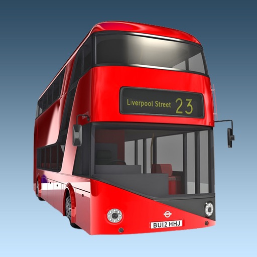
The app provides real-time bus arrival information for all London bus stops using Transport for London live data. Users can find bus stops by name, ID, or current location to check upcoming arrivals.
Locate nearby charging stations within a 10 km radius. Search by station name. Filter by power range, distance, and station type. View real-time connector availability. Navigate with a detailed map. Pay through integrated gateways.
Track Air flights in real time with flight details, routes, and aircraft information. View live radar data and flight status. Set alerts for specific planes or destinations. Share flight data via social media or email.
Navigate using public transport, bike rentals, and car-sharing services in Vienna. Get real-time transit times, locate nearby Car2Go vehicles, and find free Citybike stations. Provide directions without typing.
Record trips with GPS tracking, log activities like walking or cycling, and view detailed statistics including distance and time. Save locations and notes. Share trip data securely without registration.
Navigation for maritime professionals. View vector charts and ENC data. Use AIS Class A or NMEA sensors for positioning. Connect via Bluetooth GPS for backup. Track vessel movement and route. Receive navigational alerts and updates.
Share real-time location with a monitoring team during emergencies. Send emergency alerts, check in with one-time location updates, and communicate via secure two-way messaging.
Book rides with real-time driver arrival alerts. Pay via and receive invoices via email. Set pickup locations and select driver preferences. Track trip progress and manage bookings from a dashboard.
Track real-time subway train locations in Seoul metropolitan area. Set arrival alerts for stops. View visual train movement updates. Favorite stations provide arrival time forecasts.
Live Satellite Navigation provides real-time traffic updates and precise voice guidance for accurate route navigation. Multi-mode route planning allows users to select different travel options.
Navigate subway system with detailed maps of all stations. Search for locations and routes without an internet connection. View station names in English and simplified Chinese.
Plan routes between highways, state, and provincial roads. Display directions with closed road alerts. View total distance and travel time. Access real-time traffic information. Receive road condition updates along the route.
Plan trips using real-time transport schedules and route comparisons. View maps with bus and train stops. Get step-by-step navigation within the city's network. Track vehicle locations and estimated arrival times.
View real-time vehicle locations on a map. Check schedules and arrival predictions for stops. Plan routes with transfers. Find transport equipped for accessibility needs.
The app provides subway maps and a route planner with travel time and distance. It calculates trip costs and finds nearby stations using augmented reality.