Access current updates multiple times per hour. View high-resolution satellite imagery and 250-meter radar. Save favorite locations and receive push alerts. Track hourly and daily forecasts. Use integrated GPS for location awareness.
The app displays skew-t log-p charts with temperature, dew point, and winds aloft. It shows current radar, Airmets, Sigmets, and SkewT data filtered by altitude.
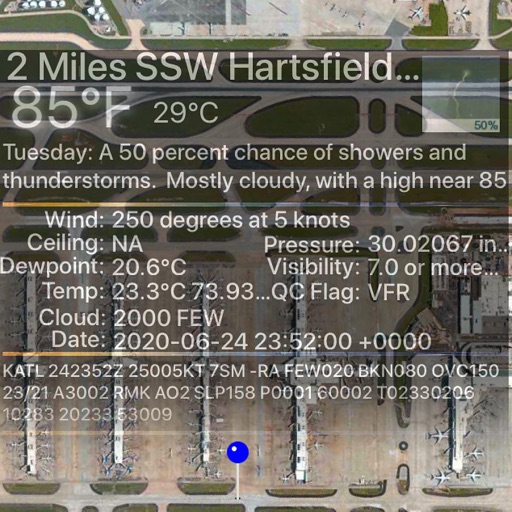
View real-time data for airports including METAR, TAF, NOTAM, WINDS ALOFT, and forecasts. Access ICAO and IATA codes, coordinates, and sunrise/sunset times. Manage favorite airports, search by location or code, and display all airports on a map.
Access current updates multiple times per hour. View high resolution satellite imagery and 250 meter radar. Add and save favorite locations. Receive hourly forecasts and future radar for severe tracking. Use integrated GPS for location awareness.
View real-time flight conditions and site information. Explore launch and landing sites globally. Access weather forecasts from multiple providers. Watch live webcams and view photos of locations. See valley wind patterns with directional arrows.
View real-time radar and satellite imagery for weather tracking. Explore interactive maps with vertical and horizontal views. Access color-coded alerts by severity. Check the Road Weather Index for road conditions.