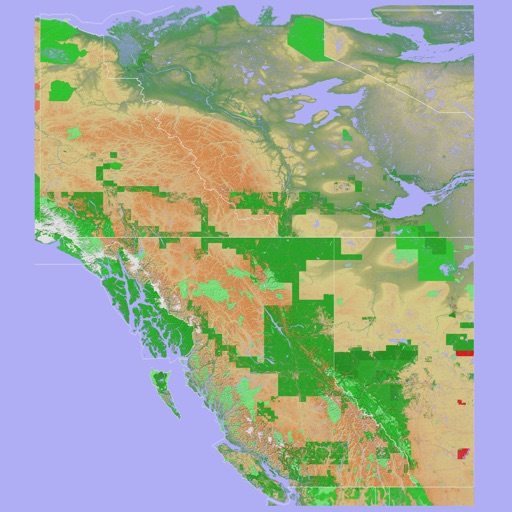
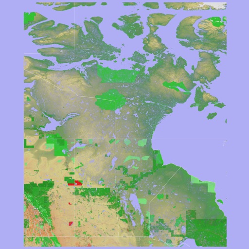
The app provides a 3D topographical map of Western Canada. Map data downloads to the device for use without an internet connection, allowing users to view terrain features as small as ten meters.
The app presents a 3D topographic map of Eastern Canada. Users can download map data for use without an internet connection, suitable for various travel methods.
Navigate the campus by entering room numbers to locate them on a map. View a red circle indicating the room's position. Tap the map to highlight the building with a helper arrow for better visibility.
Display real-time position on the map and visualize metrics with elevation charts. Import and view tracks in GPX, FIT, KML, or TCX formats. Record and export tracks as GPX. Monitor remaining effort during activities.