Displays real-time tidal stream data based on the nearest Devonport high water time. Shows hourly streams charts valid for specific periods. Allows users to view tide set and interpolated rates. Functions fully offline without internet connection.
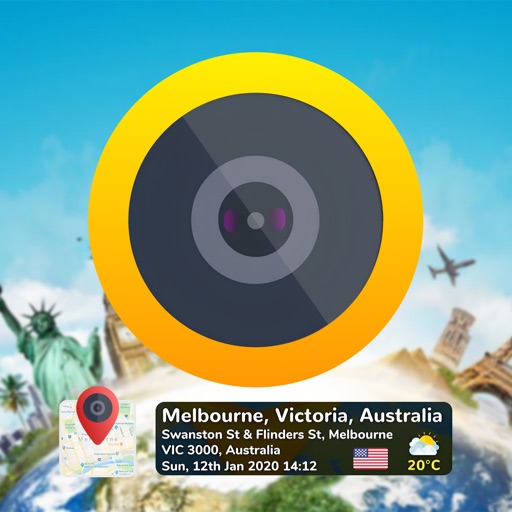
Add time stamps, GPS coordinates, and exact addresses to photos and videos instantly. Enable grid, aspect ratio, switch, flash, focus, and timer settings. Store user locations automatically and reverse-geotag addresses.
The app provides interactive maps and a route planner for Nexus public transport in Tyneside. It offers offline functionality for maps and journey planning, with regular updates to keep information current.
Capture photos with embedded GPS coordinates, date, and time stamps. View map overlays and location details directly in images. Share geotagged photos with precise timestamps and location data.
Discover nearby places, events, and points of interest with real-time location data. Access offline maps and information. Save articles to a reading list. View Wikipedia content. Navigate without internet connectivity.