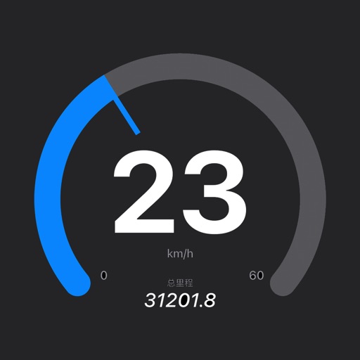
Record GPS tracks for hiking, running, or biking. View distance, speed, and elevation in real time. Display map location with data or use grid view without it. Show elevation profiles with waypoints for detailed route analysis.
The app records trips and displays tracks, position, and live information like speed and altitude. It measures distances, surface areas, and perimeters by placing points on the map.
Train in immersive 3D environments while cycling or running. Adjust character speed based on heart rate via Bluetooth Smart device. Track workouts, set goals, and sync with apps. No sensors required but recommended for enhanced experience.