The app pushes thunderstorm damage reports from trained spotters and emergency responders. Users can filter notifications by location and hail size, and view events on a map.
The app provides worldwide weather details, including wind, precipitation, and wave data. It offers forecasts up to 16 days and can be used offline, with GRIB files downloadable via various connections.
The app provides real-time water temperatures for Swiss lakes and rivers. Users can check conditions before water activities and add selected spots for notifications.
View real-time radar and satellite imagery for weather tracking. Explore interactive maps with vertical and horizontal views. Access color-coded alerts by severity. Check the Road Weather Index for road conditions.
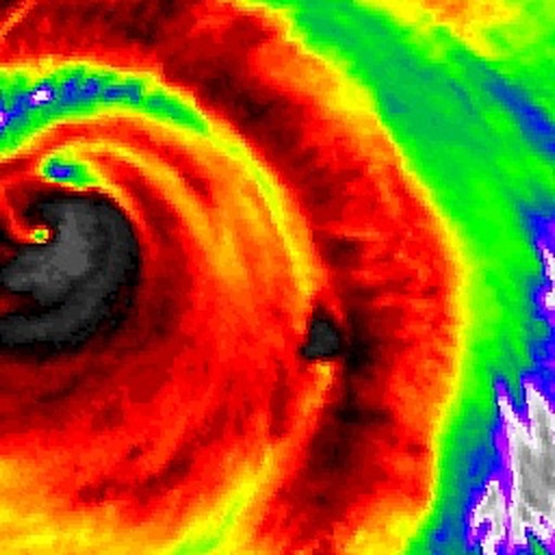
The app provides live satellite imagery for various regions, including North America and Europe. It tracks storms worldwide with precise projected paths and detailed forecasts, offering a complete view of weather conditions.
The app provides off-line tide forecasts for major harbors, islands, and tide stations. It offers weather forecasts and fishing predictions, covering over 170 countries and 30 languages.
View real-time radar images updated every 10 minutes. Zoom in or out to see weather across multiple states. Toggle radar visibility with the Radar button. Adjust transparency using a slider. Select different radar sources from the menu.
Provides real-time barometric pressure and altitude readings using device sensors. It offers 10-day forecasts and migraine trend tracking. Users can view historical data, export files, and access offline features.