Customize dashboards with configurable gauges like speedometer, odometer, GPS altimeter, barometric altimeter, accelerometer, artificial horizon, compass, and elapsed time. Swipe to switch views and access real-time sensor data from iPhone or iPad.
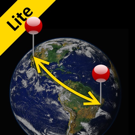
The app calculates the shortest distance or distance with a constant bearing between two locations. Users can select current location, enter coordinates, or choose from a database.
Log hunting trips with GPS tracking and map integration. Record deer sightings and activity patterns. Manage gear inventory and set reminders for maintenance. Share trip details with other hunters. Export data in multiple formats for later review.
Track real-time and share it with friends. Copy coordinates and perform actions on . land area using GPS and calculation tools. Find routes with distance and direction calculations.
Use to determine directions and navigate. Rotate device 360 degrees for orienteering. Access camera preview to align with surroundings. Set bearings and track movement without GPS.
Verify food products and ingredients for compliance using AI analysis of Islamic sources. Search E-numbers, additives, and ingredients. certifications from the Global Islamic Food Council.
The app provides mapless navigation using GPS and compass data. It allows users to drop markers, search for destinations by address or placename, and view locations on a map.
Generates dynamic noise mixes for relaxation and focus using white, brown, pink, and water sounds. Users can adjust the mix manually or automate it with motion. Reverb adds depth, and an 8-band equalizer allows customization.
Calculate and Qiblah direction for any city worldwide. Track fasting and Sahoor for Ramadan 2026. Set Imsak schedules for abstinence. Display Hegira dates and save them in the calendar. Add events with Hegira dates. Locate Qiblah using Google Maps.
Enter coordinates to set waypoints. Navigate to locations using latitude and longitude. View maps with metric or customary units. Track direction and distance. Save and recall multiple waypoints.
Navigate with a digital that provides real-time direction. Set and track location markers. Adjust settings for accuracy. Personalize appearance with themes and styles. Share coordinates and routes.