Receive location data via email and map it automatically. Visualize GPS coordinates with a radius overlay. Get notifications for location updates. Share mapped locations with others. Set custom radius sizes and track movement patterns.
by Badge Apps LLC★ 4.611 ratingsUtilitiesFreeData updated 2026-09-22
Monitor , air pressure, and oxygen levels in real time using GPS and sensor data. Customize theme and background. Track environmental changes with precise measurements and dynamic updates.
The app collects geographic coordinates using the device's GPS to map, measure, or record important places. Users can mark specific points, record lines or paths with measurements, and define areas or polygons for land or building outlines.
Satellite positions in real time using the Quasi-Zenith Satellite System. Identify satellite orbits and track their movement. Access detailed information about each satellite's location and status. Share satellite data with others via social media.
Report city issues like graffiti with photo and GPS location. Submit requests that are automatically routed to the correct department. Receive notifications when issues are resolved. Opt in for updates on cleanup status.
Find nearby and post offices in the UK using GPS. Search by location or address. Report missing via OpenStreetMap. Refresh data to include updates. View maps and directions to locations.
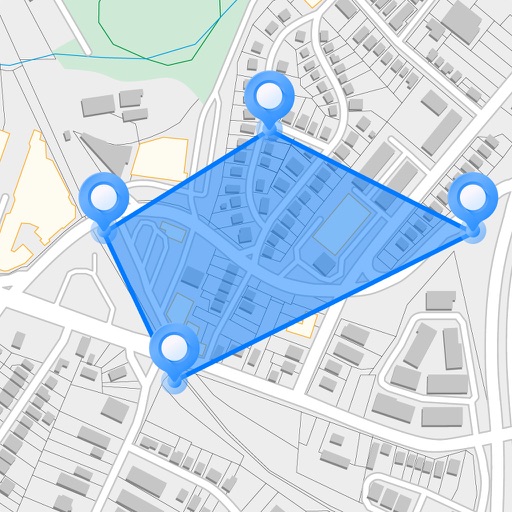
Measure areas and distances on maps by placing points and calculating the total or route length. Save and share specific locations as points of interest. Calculate GPS areas with high accuracy.
Monitor boat position continuously with real-time tracking. Set a safe zone and receive instant alerts if the boat drifts outside the designated area. View the safe zone on a map and adjust the warning radius easily.
Track transactions and monitor KickBack Points earned from participating merchants. Locate nearby KickBack locations with store details. Redeem points for rewards and manage account settings.
Correct GPS coordinates for photos in a library. Add or update location data to multiple images. Copy location from one photo to others. Save recently used locations for quick access.