

Apps Like Pinged for iPhone and iPad
Receive location data, map points, set radius
Receive location data via email and map it automatically. Visualize GPS coordinates with a radius overlay. Get notifications for location updates. Share mapped locations with others. Set custom radius sizes and track movement patterns.
Pinged screenshots
Ranked alternatives
Showing 421–440 of 1,000 ranked alternatives.


Red Panic Button
ULTIMATE COMMUNICATION SOFTWARE LTD
Press button send location message
The app sends messages containing the user's address and location via SMS or email. It can also call an emergency number and record voice messages.


Utility Data Collection
Corvallis Microtechnology, Inc.
Collect utility data with GPS/GIS.
The app collects utility asset management and meter reading data using GPS/GIS mapping. It allows users to record locations, conditions, and attach photos to surveyed items, and import/export data for meter routes and readings.

Phone Tracker: Find My Number
FINDUS COMPUTER SYSTEMS & COMMUNICATION EQUIPMENT SOFTWARE DESIGN LLC
Send location requests instantly
Locate friends by sending an SMS request. View real-time location on a map. Works with users who have not installed the . Confirm location sharing before viewing.

RIDGID Trax
The Ridge Tool Company
Map underground utilities in real-time.
The app provides real-time underground utility mapping. It displays the GPS position and depth of identified utilities like water, gas, or electric on a map.

Map Notes My Location
SHIGETO TAKAGI
Save coordinates and edit map data
Save and edit coordinates with latitude and longitude. Use GPS to capture current position or search by keyword. View maps and annotate locations with or tags. Share data via copy or export options.

Gps Area Calculator: Land Calc
Liam Sammy
Measure area, distance, and perimeter
Measure areas, distances, and perimeters with precise pin placement. Mark and save measurements, name and group them for easy access. Share measured maps with colleagues directly.


Weed ID
Bayer Aktiengesellschaft
Identify and map farm weeds easily.
The app helps users identify weeds in Canada by selecting characteristics or searching a database. It also maps weed pressures using GPS coordinates to track trends year over year on a farm.

Phoenix G2 FSA Mobile
US Digital Designs, Inc.
Get fire station alerts on the go.
The app provides instant verbal, written, and location fire station alerts to authorized users. It allows for customized alert notifications and provides directions to incident locations.
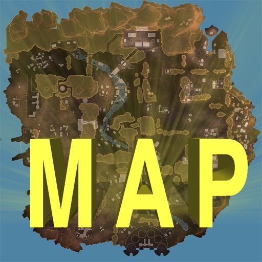
Map Companion for Apex Legends
Nandin Thakur
Track locations and toggle points of interest
Track locations, respawn beacons, survey beacons, crates, and jump towers. Toggle points of interest on and off. Share markers with friends to coordinate strategies. View interactive map with detailed location data.

Contour - Volume - Stakeout
Corvallis Microtechnology, Inc.
Generate maps and compute volumes.
The app generates contour maps from elevation data and computes volumes based on contour regions. It allows users to digitize points, lines, and areas over a map and provides stakeout functions for precise location finding.

Anti Theft Phone Alarm
Naik Ur Rehman
Activate , receive alerts
Detect suspicious movement and trigger an to prevent unauthorized access. Receive notifications when someone attempts to use your . Customize sounds and enable touch detection for added security.
How we rank alternatives
Apps are ranked by functional similarity, category fit, rating confidence, and popularity.