Users can register via email, Facebook, Apple, or Instagram. They can mark current or recent locations on Google Maps as hammock spots. Other users can view these marked locations.
by Travis Watson★ 4.815 ratingsTravelFreeData updated 2026-09-22
Record and view hiking tracks with detailed topographic . Navigate routes using GPS coordinates. Mark waypoints and save locations. Display elevation changes and compass direction. Sync with Apple Health for activity tracking.
Navigate using a map to locate nearby galleries, museums, events, and artist-run spaces. Plan personalized art walks, access real-time exhibition details, and discover local art spots.
The app helps users find parking spots and manage parking sessions. It allows for searching destinations, starting and stopping sessions, and making payments with a card.
Find company locations globally using interactive indoor maps. Route to locations via preferred navigation apps. Access photos, files, and messages tied to specific locations. Upload content and receive push alerts for location warnings.
Store locations, track coordinates, save snapshots
Store custom locations mapPoints. Add current , addresses, coordinates, or pins. Save snapshots of locations for travel, hunting, or . View and manage stored on a map.
The app provides a map and list of over 500 haunted locations in the United States. Users can view descriptions, photos, and visitation details for each location.
Find hotel locations near you or elsewhere with real phone numbers and website links. Search by or service type. Access data instantly without ads or delays. Book directly through integrated links.
The provides sailing club and marina locations, part suppliers, repair shops, and current weather data. Users can view maps with green pins marking landmarks and marinas. Navigate to specific resources and check real-time weather conditions.
Find happy hour and events in with real-time updates and user reviews. Search by location, type, and date. Get directions, view menus, and RSVP to events directly. Share recommendations with friends and track visited venues.
Displays current geographic position with latitude, longitude, altitude, speed, and units in metric or imperial. Save and store multiple locations. Show distance to saved locations. Send current or saved location via message or email.
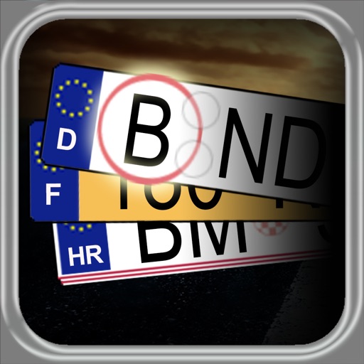
The app provides car license plate shortcuts for several countries, displaying registration region information and linking to maps. Users can search for plate keys and build a collection of seen plates, making it useful for road trips and quizzes.
Share trip details including countries, cities, and landmarks visited, along with events and people encountered. Post photos and videos of trips. View interactive map showing travel locations of network members and their associated media.
And explore using a map or nearby user profiles. Save favorite locations to create a personalized map and profile. Connect with users who similar interests or have bookmarked the same spots.
Track real-time locations of loved ones and receive instant alerts when they arrive at or leave predefined areas. Create customizable circles for different groups. Share location updates and set safety boundaries.
Receive guided audio commentary based on real-time location. Explore landmarks with historical and local insights. Navigate routes with maps and points of interest. Save favorite locations and revisit them later.
Explore science locations in , including Cathedral and RWTH University sites. Access compact articles about research projects. Use an audio guide to navigate. View images and multimedia content. Share insights via social media.
Locate with a single tap. View stations globally with precise locations. Navigate to the nearest charging station. Receive real-time directions and estimated arrival times. Track charging session details and manage payment methods.
View topographic maps of New Zealand's . Locate current position via GPS. Search for place names. Access map data offline without cellular coverage. Display detailed terrain and geographical features.
Find nearby dispensaries with real-time location updates and accurate data. Display routes and travel times based on driving or walking mode. Automatically detect movement type and update nearby locations as you move.