Access real-time emergency alerts and updates. View preparedness guides and resources. Report damage or current conditions during emergencies. Receive information on evacuation routes and shelter locations.
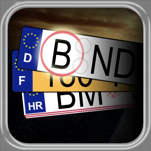
The app provides car license plate shortcuts for several countries, displaying registration region information and linking to maps. Users can search for plate keys and build a collection of seen plates, making it useful for road trips and quizzes.
Browse digital maps with multiple view options including standard Apple Maps, satellite, hybrid, USGS topographic maps, orthophotos, NOAA nautical charts, and Open Street Map. Navigate, zoom, and search for locations across different map layers.
The app presents a 3D globe of the Moon with interactive controls for manipulation. Users can explore named features, view current moon phases, and access information about lunar topography.
Navigation provides altitude estimates using device location service for general use. It offers barometric altitude tracking with iPhone 6 or newer, allowing precise relative elevation changes.
Track position and course over ground. Mark and edit waypoints. Measure distance in nautical miles and meters. Calculate course to waypoint. Display speed in knots, mph, or km/h.