Displays a mirrored speed image on the iPhone screen. Position the device on the dashboard to use the windscreen as a head-up display. Resize text by pinching and change color with double taps.
by Daniel Kirstenpfad★ 4.02 ratingsTravel$0.99Data updated 2026-09-21
Get fuel quotes and place orders directly. Use GPS to locate airports and FBOs. Receive push notifications for price options based on location. Access order history and invoices. Preselect aircraft tail numbers for crews.
Find nearby fuel stations, charging points, and car washes with real-time pricing and price change alerts. View current fuel, charging, and washing costs. Save favorite locations and navigate to them using integrated maps.
Record workouts with heart rate, speed, elevation gain, and other metrics. Import and export GPX and FIT files. View offline with custom tiles. Overlay routes from GPX, FIT, KML, or GeoJSON files. Generate walking and cycling directions.
View maps for Madrid, , and Bilbao offline. Use AR mode to navigate. Zoom and pan with touch gestures. Display user location. Fullscreen map with one tap. Subscription required for full features.
Translate words between and English with instant lookups. Access over 100,000 entries for detailed definitions and usage examples. Translate without an internet connection. Sync vocabulary for offline use.
The app displays track, heading, distance, ground speed, time enroute, ETA, and fuel burn on one screen. It includes METAR and TAF weather access and 55,000 airports and navaids offline.
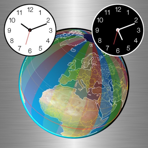
Convert times between multiple time zones instantly. Display current local time for up to 20 cities. Customize city names and icons. Use background colors to indicate day or night. Choose 12 or 24 hour format. Access free color themes.
Access real-time marine data such as navigation information, wind speed, and water depth. Connect iOS devices to a boat's network for data retrieval. Display data on a touchscreen interface. Share data with other devices on the network.
The app provides current weather conditions and 4-day forecasts for millions of cities. It displays temperature, wind, humidity, and precipitation details.
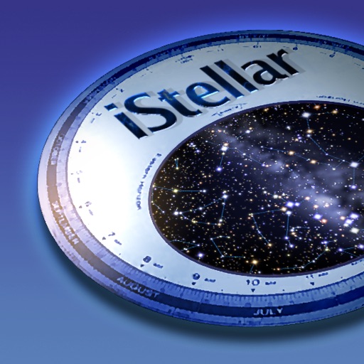
View the night sky from any location and time. Rotate and zoom the star chart using multi-touch gestures. Identify over 16,000 stars with names for 254. Simulate atmospheric distortion and twinkling effects.