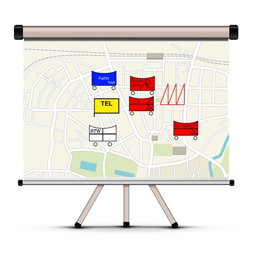
The app allows users to create and edit tactical maps with over 1600 symbols from various organizations. It supports custom map materials, drawing functions, and the ability to record situation reports directly within the application.
Stolpersteine Guide GbR mit Kim-Julian Becker, Peter Nurnberger
Explore history where it happened.
The app displays the locations of Stolpersteine on a map, providing biographical details and images of the individuals commemorated. It also offers guided tours of Stolpersteine, created by local initiatives.
The app displays the route on a map with stations, places to eat, and lodging. It includes a digital stamp pass, and users can collect a needle after stamping two-thirds of the stations.