The app measures distance, area, and perimeter on a map using manual input or GPS tracking. It allows users to label, save, and share points in KML format, and check bearing and geo-coordinates.
Use device sensors to check horizontal and vertical alignment of objects. Point camera at object to detect crookedness and measure degrees. Switch to protractor mode to measure angles for precise cuts.
Record EMF levels using device sensors. Analyze data with interactive charts. View real-time measurements via gauge and diagram. Automate long-term recordings. Export and share results. Track EMF patterns for research.
Calculate and communicate project measurements easily.
The app allows users to calculate and communicate project measurements. It connects to a RIDGID LM-400 Laser Distance Meter via Bluetooth for precise measurements and works in drawing or photo overlay modes.
PD+ captures and processes a high-resolution facial photo to measure . It provides far and near PD measurements for both binocular and monocular use. It also measures fitting heights for current frames to ensure accurate lens prescriptions.
Measure objects using screen or AR camera for precise dimensions. Switch between inches, centimeters, and millimeters. Capture and save measurements for later reference. Share results via email or messaging.
Displays speed in and distance traveled using GPS. Tracks maximum speed with vibration alerts. Shows position and time of maximum speed on a map. Switches between light and dark modes. Notifies of GPS measurement errors.
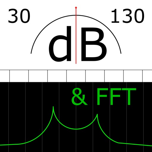
The app measures sound levels using a digital display for sound power and an analog display for fast mode. It also features real-time FFT frequency analysis with highlighted predominant frequencies and their power.