
Planimeter for map measure
忠 张
Distance and area on maps
Distances and areas on satellite maps. Select points to calculate length or size. Save measurements and share results. Compatible with various map views and zoom levels.

Showing 101–120 of 1,000 ranked alternatives.
忠 张
Distance and area on maps
Distances and areas on satellite maps. Select points to calculate length or size. Save measurements and share results. Compatible with various map views and zoom levels.

Andrei Rozhkov
Between map points
Distances on maps by tapping to add route points. Calculate length of roads, buildings, or areas. Get accurate calculations without needing existing routes or ground features.






GV Software Solutions Limited
Share map images with marked radius
Lets users measure distances and areas on maps. They can plot a radius around a point with customizable color and size. Share map images to indicate routes, areas, or radii. Export maps as images for documentation or communication.



Siu Yuen Ho
Record scores, track field conditions, manage archers
Track scores with support for multiple archers. Record scores and field conditions like distance and face size. Customize ends and arrows per end. Use preset GNAS and FITA rounds. Retrieve and edit score history.
MATOLE
Measure distance with bubble level
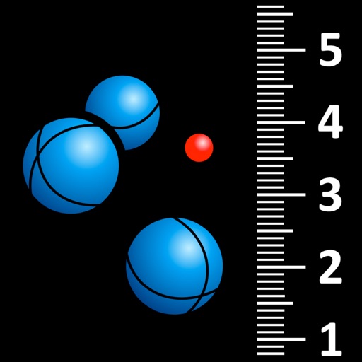
Measure distances between boules and the jack in pétanque games using automatic photo capture with a bubble level. Tap on boules and the jack to identify them via visual recognition. Display measurements and rankings.


Nalin Savaliya
Measure and on maps
Calculate distances and areas using GPS coordinates. Place markers on a map to measure distances between points or total of a route. Delete markers by tapping them. Export results for further use.

ObjectGraph LLC
Measure areas and distances on the map
Measure distances and areas on maps by tapping points. Switch between metric and imperial units. View precise measurements for property, routes, or land.

Sergey Irgeshov
Plot routes and distances
Create routes for running or walking by tapping on the map. Calculate distances and areas on the map. Plot routes and get automatic directions. traveled and save route data. Sync with fitness trackers for step and tracking.
Apps are ranked by functional similarity, category fit, rating confidence, and popularity.