Access and replay driving videos from compatible cams. Manage settings, view footage, and control recording options directly through the . Supports multiple device models for video playback and configuration.
Track routes, find waypoints, and navigate offline
Navigate outdoors with offline GPS maps and real-time augmented reality. Track waypoints and custom locations. Use a gyrocompass, speedometer, altimeter, and inclinometer. Find celestial bodies and measure angles.
View and manipulate 3D models with rotation, scaling, and sectioning. Support for BIM, Revit, SolidWorks, and over 40 3D file formats. Measure distances and preview assemblies. Export and share 3D designs.
Kunshan Nianyueri Information Technology Co., Ltd.
Calculate arc tangents and program parts
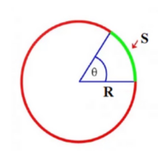
Calculate tangent points for arcs and generate real-time machining programs. Support cutter compensation and common part structures. Measure and program standard machining operations.
Convert units across 50 categories and over 1000 options, including mixed units like ft + in or m + cm. Add frequently used conversions to a favorites list. Save and share conversion results.
Create and manipulate geometric shapes such as points, lines, angles, and conic sections. Adjust properties and calculate metrics. Display shapes on a zoomable coordinate system. Construct medians, altitudes, and bisectors.
Securely connect to the internet with a no-logs VPN. Enable one-click secure connections. Access high-speed servers. Stream and browse without tracking. Protect online activity with zero data logging.
Connects to Compass Pro device to trigger emergency alerts for falls, arc flashes, or SOS events. Sends notifications to emergency contacts. Allows adjustment of voltage and current sensitivity settings.
View and manage CAD drawings with support for DWG, DXF, and PDF formats. Open multiple files simultaneously. Use scale tools to distances in meters and perform continuous length measurements. Add annotations and markups directly on drawings.