Capture and organize field data with photos and notes. Generate reports with embedded images and project details. Share reports via email or cloud storage. Sync data across devices for real-time updates.
by SitePrep LLC.★ 4.98 ratingsProductivityFreeData updated 2026-09-21
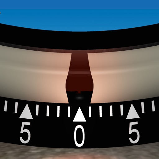
Measures roadway curve angles in degrees. Calculates combined effects of superelevation, vehicle roll, and lateral acceleration. Provides advisory speed recommendations for horizontal curves. Syncs with devices for data storage and analysis.
Manage project details, access documents, and track progress from anywhere. Send messages, assign tasks, and receive updates in real time. Sync with Tools account for bid management and field coordination.
Create and store reports with pre-written comments. Generate PDF reports quickly. Select from over 7000 standard comments. Edit and customize details. Share reports directly with clients.
Create and manage checklists for audits, snag lists, and punch lists. Track defects, assign tasks, and monitor progress. Generate reports, conduct risk assessments, and ensure compliance. Collaborate with teams on field reports and maintenance logs.
Capture hazards with device camera or photo library. Log risks and note observations. Generate professional reports. Share findings with team members. Track compliance status across sites. Sync data with cloud storage. View historical records.
Create and complete custom company forms and documents on mobile devices. Manage project files and folders in the cloud. Upload and store company forms and photos securely. Capture detailed metadata per photo for quick retrieval.
View hourly and daily with clear charts. Report conditions via photo. Check real-time updates and historical data. Set location-based alerts. Access detailed reports for your city.
Track construction project progress in real time. Update daily status, document field activities, and share updates with management. Monitor budgets, schedules, and risks. Collaborate with teams through shared dashboards and task assignments.
Scan properties using LiDAR to create accurate, editable floor plans instantly. Capture and analyze property data with AI-powered insights. Export and share scan results directly.
Capture incidents, track inspections, manage forms
Capture and submit incident reports, inspections, and custom forms in real-time. Track safety data and manage audits remotely. Generate reports and share findings directly. Set reminders for compliance checks and monitor worker engagement metrics.
Track field activities with shift report creation, editing, and approval. Sync data with drilling crews in real time. Capture and manage project details remotely. Share updates and receive feedback instantly.
Create reports directly from an iPhone or iPad. Document issues with photos and notes. Track project progress and collaborate with team members in real time. Export reports in multiple formats and share them instantly.