Find and share accessibility information for locations worldwide. Search by place type or browse the map to locate accessible features. Filter results by category or specific needs. Add new locations to contribute to a global accessibility database.
by 2490196 Ontario Inc.★ 4.011 ratingsNavigationFreeData updated 2026-09-20
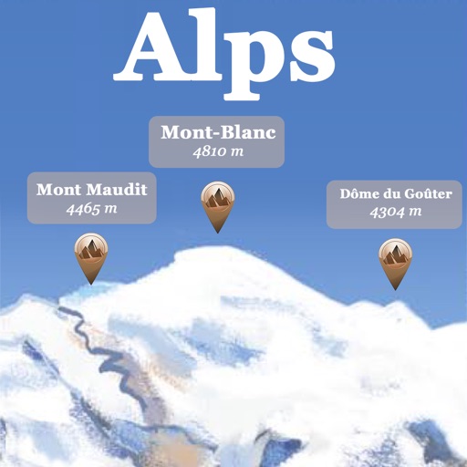
The app references over 20,000 peaks, passes, lakes, and shelters in the Alps. Users can find names, altitudes, and distances to summits and locate various points of interest on a 2D map.
View interactive maps with real-time updates. Find points of interest and nearby services. Create and manage travel itineraries. Access an SOS Guide for emergency assistance. Navigate trails and outdoor locations. Share location with contacts.
Find local venues to perform live. View venue details, read community reviews, and save favorite spots. Add event dates and share performances with followers. Track upcoming gigs and receive notifications about venue updates.
Find locations near your current position using list and map views. Access detailed information about each location. Navigate directly to selected places with one-click.
Find locations near your current position using list and map views. Access detailed information about each location. Navigate directly to selected places with one click.
Map displays locations globally on a map. Search venues by keyword. Tap icons to view details. Launch or Swarm apps for more options. Show current coordinates and act as a GPS receiver.
Navigate with detailed vector maps that support zooming at any level. Find locations and points of interest. Avoid roaming charges by using the without an internet connection. Save data by disabling background updates.