Apps Like GPSPlus - GPS EXIF Editor for iPhone and iPad
Edit location data and remove GPS info
Edit GPS data for photos and videos to remove or adjust location information. Set location accuracy levels including ten meters, hundred meters, kilometer, and three kilometers. Select and view GPS data for individual media files.
by 汝泉 张★ 4.0915 ratingsNavigationFreeData updated 2026-09-20
Track real-time vehicle locations and visualize routes. Create and manage geofences. Set speed alerts and monitor specific events. Generate fleet performance reports and playback trip routes. Receive multiple alerts for location-based triggers.
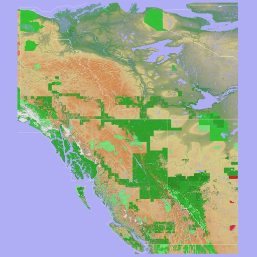
The app provides a 3D topographical map of Western Canada. Map data downloads to the device for use without an internet connection, allowing users to view terrain features as small as ten meters.
The app shares and tethers NMEA GPS data between compatible devices over a WiFi network. It displays location data from another device's GPS on the user's iPad.
The app allows rangeland managers to quickly capture repeatable photo-monitoring data and save it to a smart device. Pictures are stored with comments, pasture names, GPS locations, and dates, and can be downloaded to a computer.