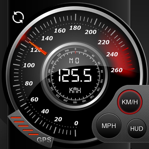
Track trips automatically to view time, distance, max and average . Generate shareable images with key stats after each trip. Access detailed driving data including acceleration, braking, cornering, stops, lane changes, and G-force.
Record and view hiking tracks with detailed topographic . Navigate routes using GPS coordinates. Mark waypoints and save locations. Display elevation changes and compass direction. Sync with Apple Health for activity tracking.
The app records GPS tracks, allowing users to save routes and add photos, videos, and voice notes to locations. Users can share routes with others, import GPX files, and navigate along recorded paths with real-time guidance.
Location with latitude, longitude, and elevation. Use compass and speedometer for navigation. paths and share data or current location with friends. View battery and pressure readings. Support 3D touch for iPhone6 and iPhone6 Plus.
The app provides access to device GPS functionality, displaying heading, compass, map views, speed, distance, coordinates, and altitude. It also offers weather information including temperature, humidity, pressure, cloud cover, and wind speed.
Track trips with real-time GPS data including speed, position, distance, elevation, and map display. Record details and export GPX files for review in Google Earth. Sync data to a computer for geo-tagging and management.
Buy, sell, or sublease items like textbooks, dorm supplies, and furniture. Verify users with .edu emails. Make secure payments within the . Communicate via organized in- messaging. Prevent fraud with built-in security checks.
Create routes with multiple waypoints and save them for later. Share routes with others via link. Open saved routes directly in Apple Maps with one tap.
Record data including , average , distance, altitude, and elapsed time. View real-time GPS tracking with longitude and latitude. Monitor statistics and save history. Sync with devices for offline navigation.