Use the built-in to navigate. Access an angle finder, flashlight, and map. View landscape and cosplay modes. Upgrade to remove ads and use improved Apple Maps.
by William Silner★ 4.859 ratingsUtilitiesFreeData updated 2026-09-20
Measures angles and incline using device sensors. Users can align objects horizontally or vertically. The displays real-time angle readings and allows calibration. It supports multiple orientation modes for precise leveling.
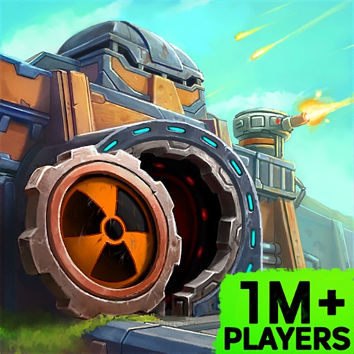
Manage resources and defend your bunker against threats. Assign roles to survivors, upgrade facilities, and complete missions. Build defenses, manage inventory, and navigate a post-apocalyptic world to ensure survival.
The app transforms devices into a compass with a rustic aesthetic and user-friendly interface. It provides location, altitude, and orientation using device sensors for navigation and everyday use.
Measure atmospheric pressure using the device's barometric sensor. Determine elevation with GPS-based altimeter. Access a ruler, surface level, metronome, stopwatch, timer, and seismometer. Includes flashlight.
Track scores for multiple players in a single interface. Count pips using camera or manual input. Customize colors and values. Adjust themes and set double zero values. Export scores and manage game settings.
Navigation allows users to view direction aligned with satellite imagery or maps. Displays street address, GPS coordinates, elevation, and What3Words codes. Taps switch between satellite and map views. Pinch or spread to zoom.
View real-time GPS maps and switch between map and views by holding the device. Track heading, , altitude, latitude, longitude, speed, and temperature. Use a for accurate navigation and monitor speedometer and temperature readings.
Create and build custom structures using a variety of -themed blocks. Explore an open- sandbox environment with infinite terrain. Customize avatars and outfits. Trade items with other players. Unlock new crafting recipes and decorations.
Edit photos and videos with filters, effects, and frames. Crop, adjust brightness and contrast, and add text. Share edited content directly with friends.
The app offers a flashlight with instant on time and a large switch for operation. It includes a "Clapper" feature to control the light by clapping and a "Touch Light" function for momentary activation.
Track routes, find waypoints, and navigate offline
Navigate outdoors with offline GPS maps and real-time augmented reality. Track waypoints and custom locations. Use a gyrocompass, speedometer, altimeter, and inclinometer. Find celestial bodies and measure angles.
The app helps Muslims find the Qibla direction toward the Kaaba in Makkah using GPS, magnetometer, and location services. It works globally, even without an internet connection, and features a visually pleasing compass interface.
Measure geographical orientation with a precise . Display longitude, latitude, altitude, weather, and magnetic field data. Record location points and view saved travel history.
Create video stories from clips, photos, and music. Add filters, effects, transitions, and stickers. Edit audio, trim clips, and adjust timing. Export to YouTube, TikTok, Facebook, or Instagram. Share directly from the .