Create and collaborate on detailed maps using satellite imagery and 3D terrain. Explore cities with 360° Street View. Add annotations and share maps with others. Navigate streets and view neighborhood details.
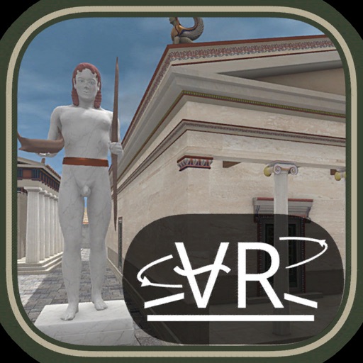
Explore historical sites through virtual tours. Navigate locations like Ancient Rome, Athens, and Baalbek. Listen to expert audio commentary. Enable closed captions in Chinese, French, Italian, German, and Spanish.
Explore the archaeological site of using an AR . Walk through the area and view monuments along the route. Point the device at information signs to trigger 3D representations of historical sites.
Explore historical sites in through interactive 3D reconstructions. View detailed architectural features and historical scenes. Navigate between locations and access contextual information about each site.