Access real-time subway maps for Xuzhou, including lines 1, 2, and 3. Find optimal transfer routes with estimated time, cost, and distance. Save or share route details as text or images. Bookmark favorite stations and routes.
View live along routes. Create custom camera groups for frequent paths. Quickly access on your route. Stream live camera feeds. Add camera widgets to home screen. Display winter driving weather conditions.
3D maps and views of locations. Track real-time location with traffic data. Calculate distance from home. Plan routes and explore famous sites. Find directions and covered area during navigation. Use 3D world map for trip planning.
The app calculates routes for various vehicles and includes Michelin selections for points of interest. It offers GPS navigation with traffic information and trip cost calculation based on vehicle type and fuel prices.
Metro maps with detailed route planning and GPS navigation. View English and Chinese station names. Access offline maps and real-time metro lines. Plan routes with interactive street maps.
Navigate using drive and walk routes with real-time time and distance calculations. Search by address, place, or coordinates. View satellite maps and direction. Share locations, use compass, and track GPS.
Navigate with real-time subway data and accurate schedules. Find optimal transfer routes with time, cost, and distance details. Receive precise arrival alerts and explore nearby attractions with one-click navigation.
Plan routes tailored to type and preferences. View detailed cycling maps with safe path options. Use turn-by-turn voice navigation for cyclists. Record rides to track progress and favourite routes.
Plan routes for multiple stops to optimize delivery time and fuel efficiency. Avoid traffic and delays by selecting the shortest paths. Track progress in real-time and adjust routes as needed. Save time and reduce fuel costs for daily deliveries.
Track real-time routes, stops, and arrival times. View live schedules for FIU Connector. Receive alerts for arrivals. Navigate using maps and directions. Share locations with others. Set custom stop reminders.
Check real-time bus arrival times, save favorite stops and routes, and view recent query history. Find transfers and nearby buses with location-based alerts. Manage multiple transit cards and check balances.
Plan and host driving events with route customization and scheduling. Explore curated global routes and points of interest. Connect with drivers via private groups and live tracking. Buy, sell, and build a garage through an in- marketplace.
View real-time camera feeds to monitor road conditions. Create custom camera groups for frequent routes. Quickly access all on your route. Add camera widgets to home screen for easy viewing.
Book rides by tapping to match with others heading in the same direction. Share ride details and confirm pickup. Track vehicle location in real time. Split costs among passengers. View route and estimated arrival time.
View real-time and road conditions using 511 . Create custom camera groups based on frequent routes. Quickly access along your route. Add camera widgets to home screen for easy viewing.
Call a taxi by pressing the button to request a ride quickly. View an estimated cost before booking. Available in selected cities for pre-booking and real-time taxi dispatch. Track ride details and manage bookings through the .
Travel "Track public transport routes, buses, and subways. Find stations and navigate with maps. Use integrated payment for buses, subways, taxis, and rental cars. Earn rewards for transfers and trips. Check traffic and real-time schedules.
Plan trips by entering pickup and drop-off locations to find the available route. Book rides for yourself and others using on-demand ViaLC services or scheduled bus trips. Receive real-time updates on estimated arrival times and service changes.
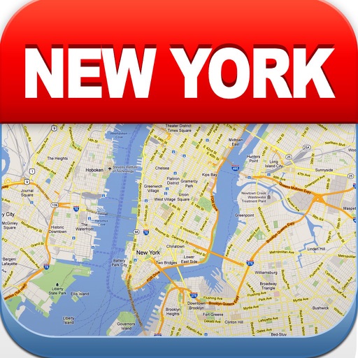
View maps of New City, including subway and airport routes. Navigate using real-time GPS without internet. Bookmark addresses for trip planning. Access top attractions and explore without data usage.
Plan trips with real-time MRT route maps and accurate subway data. Search for multiple transfer options with detailed time, fare, and distance. Access station information and surrounding services. Function offline without internet connectivity.
Find nearby stations and check real-time bike availability. Unlock bikes at stations and receive trip notifications. View cycling routes and plan journeys. Earn rewards and redeem free rides for friends.