Navigate with GPS maps and real-time traffic updates. Use voice search to plan trips. View street-level details and measure areas on the map. Get turn-by-turn directions and track driving routes. Sync with satellite data for accurate navigation.
Share trip details including countries, cities, and landmarks visited, along with events and people encountered. Post photos and videos of trips. View interactive map showing travel locations of network members and their associated media.
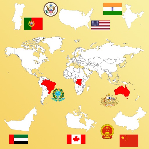
Learn country names, flags, and capitals through interactive map exploration. Tap to view details like capital, flag, area, and population. Choose modes to identify by name or location.
Identify coins by taking two photos of the obverse and reverse. Access a global catalog of over 200,000 coins. View current , historical background, and physical details. Search for specific coins by country or era.
Information including capitals, maps, and currencies through interactive lessons and quizzes. Choose topics like flags or currencies and select continents to focus on. Practice with varying difficulty levels and test knowledge with challenges.
Track real-time passenger locations globally using an interactive map. View current positions, follow journeys, and explore active rail routes. Receive updates on movements and schedules.