
Simple RAW Camera
KANAME OHARA
Capture photos in RAW format
Capture photos in Apple ProRAW or Adobe DNG formats. Send RAW files via email or use file sharing to transfer to Mac/PC. Drag and drop RAW data from Finder. Also capture in HEIC format.

Showing 221–240 of 1,000 ranked alternatives.
KANAME OHARA
Capture photos in RAW format
Capture photos in Apple ProRAW or Adobe DNG formats. Send RAW files via email or use file sharing to transfer to Mac/PC. Drag and drop RAW data from Finder. Also capture in HEIC format.


FieldDay Technologies, Inc.
Anonymise faces and bodies in photos
Anonymize photos and videos by blurring or coloring faces and full bodies. Remove metadata such as time, date, and location. Apply anonymization settings locally without internet connection.


AppFabric LLC
Flights, view routes, and get real-time updates
Flights in real time with global coverage and precise data. Use augmented reality to identify aircraft by pointing your device skyward. Set alerts for status changes and receive notifications about delays or gate updates.







Gus Ortiz
Calculate with FRAT
Calculate by answering a series of questions aligned with IS-BAO and SMS standards. Email or save FRAT results for future reference. Available in English and Spanish.


Mark Bateman
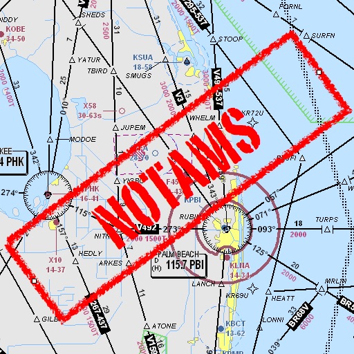
Find and weather contractions
Assists pilots with interpreting NOTAMs, METARs, TAFs, and Area Forecasts. It decodes acronyms and contractions for both inflight and ground use. Users can search for details and weather reports.
Apps are ranked by functional similarity, category fit, rating confidence, and popularity.