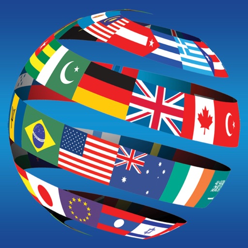
The app provides country profiles with details like currency, independence dates, capitals, population, and flags. Users can view countries on an interactive map and take categorized or random quizzes with flexible question counts.
Plan trips without an internet connection by searching for routes between locations. View suggested journeys with transfer details and departure times. Display routes on a map and access detailed information about each option.
Learn by identifying countries, provinces, and flags on interactive maps. Take quizzes to test knowledge. Receive instant feedback and track progress over time. Sync data across devices for continued learning.
Test geography knowledge with modes including world and continent-based challenges. Review country in list mode. Features include 3 wrong answers allowed and of 199 . Track progress and compete against others.
By mapping daily itineraries with stops in order. Save favorite locations and view recommendations from friends. Organize travel schedules visually and track progress on a detailed map.
The app provides details on over 250 countries and territories, covering topics like natural resources, industries, and government. It includes an offline world atlas and a country comparison function for easy analysis.
Explore locations, answer questions, and test knowledge
Explore through augmented reality by placing a 3D Earth model. Answer questions about countries, locations, and features in 8 game modes. Test knowledge across 3 difficulty levels. Name and identify geographical elements.
Test your knowledge of with a trivia game that includes 158 and 50 dependent territories. Choose from three difficulty levels. Guess based on country names or images.
The app allows users to learn countries through jigsaw puzzles divided by continent. Users can understand country shapes, locations, and national flags, with country names read aloud upon release.