The app allows users to call emergency services and transmit location data for assistance. It provides a direct link with rescue professionals and works offline in remote areas or during medical emergencies.
The app scans barcodes and QR codes, including URLs, contact details, and calendar events. It searches for product prices and details from major retailers and allows users to perform actions on scanned data without leaving the app.
Schedule pick-up or delivery times for dry cleaning, washing, and ironing. Order shirts starting at €2.65. Receive free pick-up and delivery. Get items back within 36 hours. Available 7 days a week.
Displays drone location with altitude, yaw, pitch, and battery status. Connects via WiFi, Bluetooth Low Energy, or Cellular. Supports ArduCopter, ArduPlane, and ArduRover via MAVLink. Tracks flight data and allows remote control.
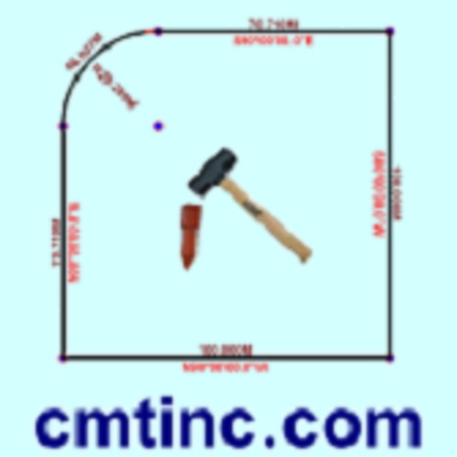
The app converts real property descriptions into boundary maps, displaying angles, distances, closure error, area, and perimeter. It offers stakeout functions for deed plots and individual points, with optional navigation beeps and GPS toggling.
Listen to audio guides for cities, museums, hiking trails, and natural sites. Explore stories and facts about landmarks and phenomena. Download GPS-guides and outdoor quizzes for offline use.
The app allows users to report litter and plastic pollution. Citizen scientists contribute GPS data on inland and marine debris to an open-data platform.
The app sends an alert notification with GPS location to CorpsSecurity and emergency contacts when the smartphone is shaken or tapped. Users can manage accounts and view alerts on the Corps Protect website.
The app allows users to subscribe to events and receive real-time information. It uses anonymous location data to detect dangers and provide information about exits and emergency equipment.