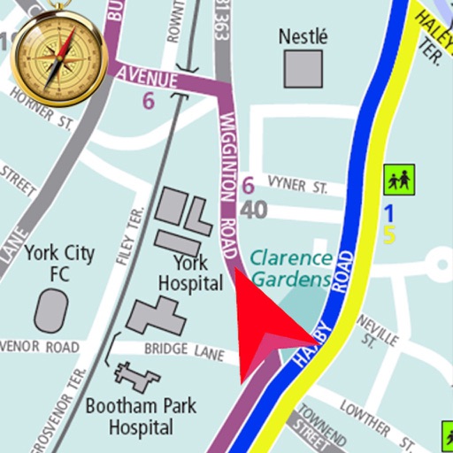
Save current location and add new places on a map. Share locations with friends and calculate distances between them. View coordinates and track recorded routes for navigation without internet.
Allows users to plan routes for driving, bicycling, or walking. It displays real-time navigation with live traffic updates. Users can find nearby hotels, schools, and hospitals. The calculates distances between locations and shows current map views.
Navigate using real-time 3D city views with realistic architecture and dynamic lighting. Explore landmarks and buildings with immersive street-level visualization. Rotate and tilt 3D scenes for better orientation.
Navigate using turn-by-turn directions for driving, walking, or biking. Add stops along the route. Search for destinations in map view, list view, or both. Toggle between views for easy route planning.
View real-time bus locations and time predictions for SF routes. Receive push notifications for delays and service updates. Add frequently used stops to Favorites for quick access. Track nearby and estimated arrival times.
Navigate waterways with detailed charts, build routes, and record tracks. View tides and currents. Set waypoints and track progress. Share maps and access free US charts for safe boating.
Provide turn-by-turn for 66 in both directions. Notify users about historical sites along the . Offer voice guidance in multiple languages. Support Apple CarPlay integration. Enable offline map usage in areas with limited connectivity.
Navigate with truck-specific GPS routes that avoid low bridges and restricted areas. Access real-time traffic updates and offline maps. Find parking locations and weigh stations. Communicate via a driver-to-driver walkie-talkie feature.
Plan routes using four methods: fast with highway, fast without highway, winding, and sport/touring. Navigate with turn-by-turn GPS via audio or display. Track tours and join a community of riders. Share routes and view real-time traffic updates.
The app allows users to find gravesites and points of interest, get directions, and receive notifications. Users can save locations to create custom walking tours.
Locate nearby experiences based on current location. Browse curated activities in categories like date nights and farmer's markets. Filter options include accessibility and event types. Save and share favorite locations.
The app provides offline navigation with a Brazil map, safety cameras, and live traffic information. Users can search for points of interest and nearby places using the Foursquare database.