Explore celestial bodies with 3D and historical imagery maps. Measure distances, areas, and altitudes. Plan routes for driving, cycling, or walking. Add points, lines, and text annotations. Import/export KML, KMZ, and SHP files.
by Anhui Yiyebianzhou Network Information Technology Co., Ltd.★ 0.00 ratingsNavigationFreeData updated 2026-09-20
Explore curated locations across Landmark Highlights, Nature & Scenic Spots, and Walking & Activity Routes. View maps, descriptions, and addresses offline. Save favorite places and add travel notes for each location.
Explore cities with self-guided walking tours featuring popular attractions and hidden spots. Access a detailed city map to navigate and find points of interest. Follow step-by-step routes to discover locations at your own pace.
Navigate using augmented reality maps with zoomable regional content. View interactive points of interest including public transport, restaurants, and hospitals. Access guides and safety tips. Find shopping locations and nightlife activities.
Explore , discover landmarks, navigate city streets
Explore self-guided walking tours of the city with detailed routes to famous attractions and hidden spots. View a fully functional city map to navigate and locate points of interest. Track your progress and discover new areas at your own pace.
Explore 26 scenic with detailed descriptions, photos, and route maps. View suggested itineraries and historical context. Navigate byway routes and access official travel information.
Explore cities with self-guided walking tours featuring popular attractions and lesser-known spots. Navigate using a detailed map to find points of interest. Follow audio guides to learn about locations and plan your route efficiently.
Navigate with GPS-guided driving tours, walking tours, and city guides. Explore attractions with narrated audio. Choose bus or train options. Save favorite locations and plan itineraries. Share routes and recommendations.
The app helps users find nearby places like restaurants and shops using AR view for directions. It allows saving keywords, setting search points, and sorting results by distance.
Explore , discover landmarks, navigate city streets
Explore cities with self-guided walking tours featuring popular attractions and lesser-known spots. Navigate using a detailed city map to find points of interest.
Track rides with real-time stats including distance, speed, duration, and elevation. Review performance data post-ride. Use AI to plan cycling routes based on goals like commuting or training. Set and monitor fitness targets.
Access detailed and up-to-date maps with topographic data. View aerial photographs for current and historical imagery. Use hybrid maps combining topographic data with elevation models and simulated terrain lighting.
The app searches and displays routes and instructions for driving or walking. It provides simple navigation with an enlarged map view at intersections and customizable alarm sounds near points of interest.
Explore , discover landmarks, navigate city streets
Navigate city streets with a detailed map to find attractions and points of interest. Follow self-guided walking tours to explore famous landmarks and hidden spots.
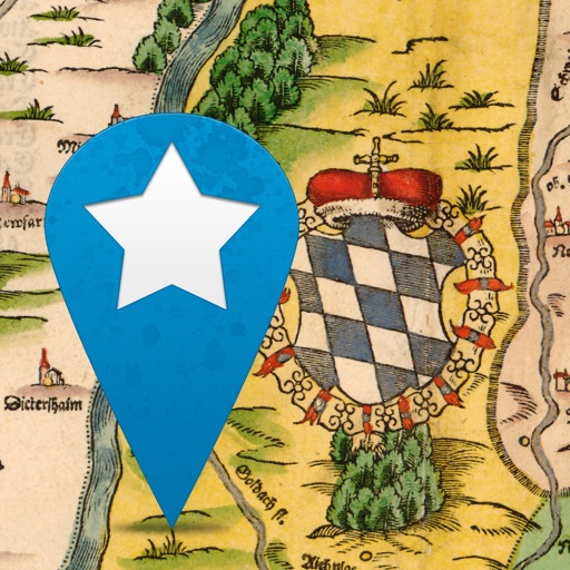
The app displays historical maps of Bavaria, allowing users to explore cities, places, and art monuments. Users can view rare historical maps and see their current location on the map.
Display real-time position on the map and visualize metrics with elevation charts. Import and view tracks in GPX, FIT, KML, or TCX formats. Record and export tracks as GPX. Monitor remaining effort during activities.
The app allows users to import and view their own maps and GPS tracks on their device. It also records tracks and detailed waypoint notes, functioning offline for various activities.
Explore self-guided walking tours of the city with detailed routes to famous attractions and hidden spots. Use the built-in map to navigate, find points of interest, and track your progress.