Explore celestial bodies with 3D and historical imagery maps. Measure distances, areas, and altitudes. Plan routes for driving, cycling, or walking. Add points, lines, and text annotations. Import/export KML, KMZ, and SHP files.
by Anhui Yiyebianzhou Network Information Technology Co., Ltd.★ 0.00 ratingsNavigationFreeData updated 2026-09-20
Manage hunting and fishing licenses by buying, renewing, or viewing details. Store and access personal information securely. Map outdoor areas, add annotations, and save location-based notes for future reference.
The app provides real-time, location-based guidance for national cycling routes. It offers a cyber-certification service using QR codes and location information at certification centers.
Explore historical battlefields in Virginia with GPS navigation and detailed maps. View virtual signs for site-specific information. Learn about key events at The Wilderness, Spotsylvania, North Anna, and Cold Harbor.
Explore self-guided walking tours of the with detailed maps and curated routes. Navigate through attractions and hidden spots. Locate points of interest and track your progress on an interactive map.
The app provides live and replay tracking for outdoor sports events, including sailing, rowing, and cycling. It displays real-time information such as rankings, speed, and heading on a 2D map, and includes weather forecasts.
Access real-time maps and local content for self-guided adventures. View checklists, safety tips, and points of interest. Navigate offline with detailed route guidance and track progress toward destinations.
Navigate using a 3D topographic map of the USA with offline access. View vector map data without internet. Use in vehicles or during hikes. Switch to global online maps with automatic caching for areas without coverage.
Manage points of interest by creating, editing, and organizing them. Import GPX or KML files or extract POIs from tracking data. Rename, describe, and tag POIs. Create smart folders for categorization. Export selected folders as GPX files.
Navigate with zoomable maps covering regional areas. View interactive points of interest including public transport, restaurants, and hospitals. Access guides, shopping tips, nightlife activities, and safety advice.
Track flights in real-time with flight details, aircraft models, and live positions. View flight paths, altitudes, and speeds. Receive notifications for takeoffs and landings. Access historical flight data and aircraft information.
The app provides walking tours of Grand Rapids, Michigan, with maps, audio, and photos detailing the history of landmarks and neighborhoods. It uses GPS to guide users to each stop, enhancing the historical experience at each location.
The app provides detailed maps for outdoor activities and work, including terrain, waterways, and property data. It offers features like offline maps, nautical charts, and GPS positioning for navigation.
Provides interactive maps with lakes, rivers, and zones. Users can track routes using offline GPS navigation. The includes tools for marking locations and planning trips.
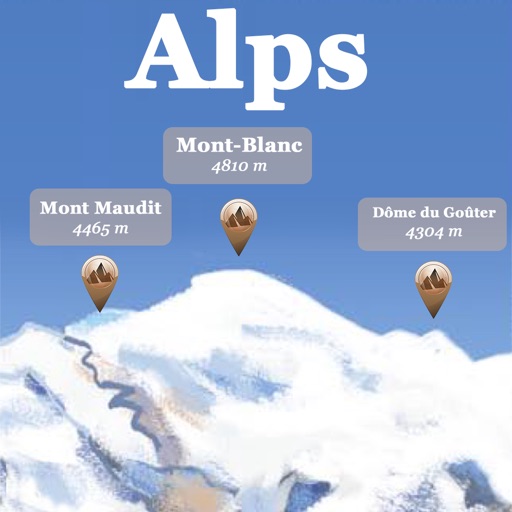
The app references over 20,000 peaks, passes, lakes, and shelters in the Alps. Users can find names, altitudes, and distances to summits and locate various points of interest on a 2D map.
Find nearby facilities, shops, restaurants, and sightseeing spots using GPS or a selected location. Tap keywords to filter results. View directions and real-time AR navigation overlays. Save favorite locations and share them with others.