Access real-time water table data from France's groundwater monitoring stations. View locations as a list or map. Filter by region or station. Display water levels and quality indicators. Share data via email or social media.
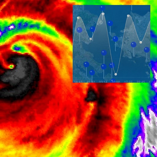
Monitor real-time water levels and tidal predictions for coastal and inland waterways. Select locations to view forecasts up to six days ahead. Access data from German and Dutch water authorities for accurate tide and water level information.
The app calculates fuel moisture content and ignition probability for wildfire risk assessment. It uses user-inputted data like temperature and humidity to provide instant results, with features for automatic logging and a searchable history.
Check current temperature in Kelvin, Celsius, and Fahrenheit. View sunrise and sunset times based on local time zone. See atmospheric pressure, visibility, humidity, precipitation, wind speed, and direction.