Displays real-time , average , and maximum with unit options. Provides sensor data for weather, altitude, and device orientation. Offers customizable dashboards and waveform charts. Allows saving and exporting historical data in CSV format.
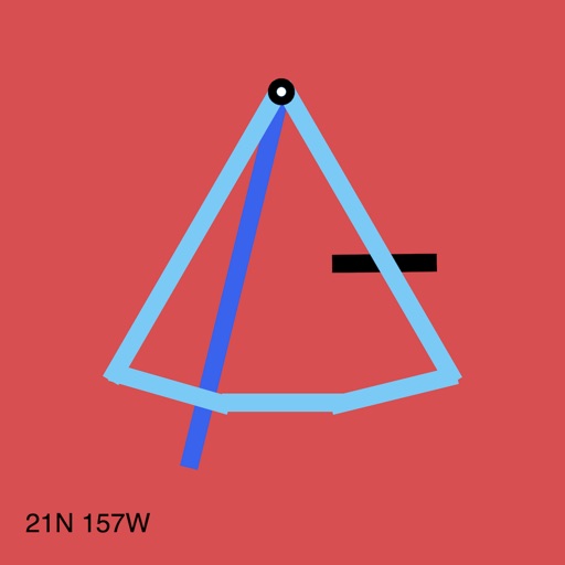
The app calculates true wind speed and direction from apparent wind and boat speed. It uses exact vector math and can automatically fill boat speed and heading from GPS and compass.
The app locates TV satellites using the device's sensors to determine physical location and calculate antenna alignment. Augmented Reality View displays satellite icons through the camera, aiding in line-of-sight assessment.