Locations with a single tap for precise GPS marking. Share saved locations with contacts. Access locations online or offline. View saved places on a map. Edit or delete saved locations.
Capture GNSS data measurements using compatible third-party hardware on iPhone or iPad. Switch between utility line types, record geographic locational data, and log attribute information such as line details and maintenance history.
Record GPS logs and set waypoints for tracking. View past routes and logs in one place. Add tags to logs and suspend recording as needed. Export data to GPX files. Log from locked screen or with another .
Access real-time data and control virtual . Tune global aviation radios or create custom radio aids. Practice navigation techniques and use as a training tool or supplementary instrument during flights.
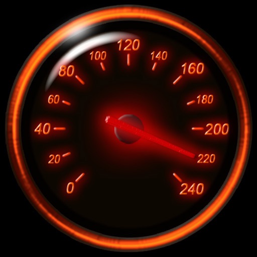
Track speed using iPhone's GPS. Display speed in mph or km/h based on region settings. Show max and average speed. Choose between digital and analog display styles. Monitor speed during car, bike, running, or riding activities.
Track device locations using GPS. Send position updates to a server at set intervals. View real-time maps and device history. Manage tracking devices and configure update settings. Receive alerts for location changes.
Search for points of interest using a 3000+ database filtered by distance. View results on an interactive map with detailed information. Access nautical charts, regulatory details, marina locations, and yacht services.
Track and the International Space Station in real time. View pass predictions and detailed orbital data. Monitor Starlink visibility and receive alerts for satellite appearances. Share observations and access sky maps for location-based tracking.
Track real-time positions of ships and yachts worldwide using AIS data. View vessel movements and identify vessels by name. Access detailed route information and historical data. Set custom alerts for specific vessels or areas.
PRO helps users locate satellites by pointing their device skyward. It displays available satellites based on location. Users can search for satellites by channel name, radio name, or provider.
Track asset locations in real time and view historical data. Modify asset details and access GPS tracking accounts. Monitor movement patterns and manage device settings remotely.
Determine UTM references, hemisphere, and WGS84 coordinates. Display device accuracy readings. Share location via Twitter. Includes USA UTM zone guide.
The app pairs with an inReach device to send messages, navigate, and track locations. It provides offline maps, aerial imagery, and trip logging for outdoor adventures.