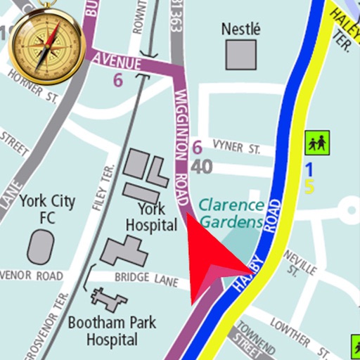
Plan routes for hiking, biking, or driving with path snapping to trails, roads, and footpaths. Navigate using phone, bike computer, GPS, or Garmin watch by sharing routes via , Garmin Connect, or GPX files. Download maps for offline use.
Plan trips by comparing and combining maps. Sync trip details between Mac and iOS devices. Use on-trail tools for navigation. Access tips to improve navigational skills. Track progress and stay safe in the backcountry.
The app transforms a Mac into a chart plotter for boating trips using UKHO data for the UK and Ireland. It displays GPS and AIS data, offers route planning, and provides navigation information with alarms.