Track precise location with Decimal Degrees, DMS, UTM, and MGRS formats. Access topographic maps and route planning. Set waypoints and measure distances. Share coordinates via email or messaging. Sync with GPS devices for real-time navigation.
Navigate to a destination by setting it via map or coordinates. View distance and direction from your current location. Works in airplane mode. Displays large, clear UI for easy reading on water or with device cases. No ads.
Monitor the International Space Station with real-time tracking on an interactive world map. View current altitude, velocity, and orbital period. Access precise latitude and longitude coordinates. Choose between standard and satellite map views.
Track displays current position, longitude, latitude, altitude, air pressure, magnetic field strength, and speed. Includes real-time positioning and map functionality. Offers 360° rotating styles for direction identification.
Tracks moon phases and sends notifications for new or full moons. Users can set alerts with custom sounds. The uses location data or manual coordinates. It displays moon phase details and upcoming dates.
Access and manage files securely from mobile devices. Sync data across devices. Share files with team members. Protect and control data through on-premises or hosted installation. Set access permissions and track file activity.
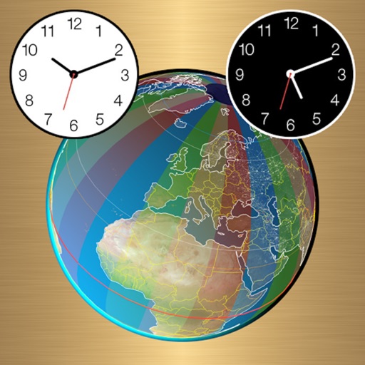
Displays time and date with options to switch between 12/24-hour format, second display, and font size. Shows analog and time in top bar. Automatically scrolls like a smart display with adjustable screen switch interval.