The app measures relative angles and rotation using the gyroscope sensor. It offers five unit modes, background or foreground display rotation, and fine calibration of the gyrometer.
Create interactive 3D models of spaces using LiDAR scanning. Detect objects and generate spatial coordinates. Measure distances, share maps, and plan layouts or design projects within the mapped environment.
ProDimensions allows users to view precise dimensions of shapes on screen with preset options for paper, photos, and objects. It also enables AR mode to place virtual 2D/3D rectangles in real environments for spatial visualization.
Edit photos by removing unwanted objects using a brush tool for precise selection. Adjust brush size for detailed control. Blend backgrounds seamlessly for natural results. Save and share edited images directly.
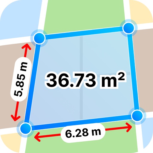
Measure distances by tapping the screen to calculate wall, floor, or linear feature lengths. Calculate areas by drawing around spaces for instant square footage or meter readings. Count items quickly with on-screen tools.