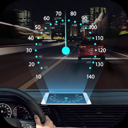
Combines dash cam and navigation features. Users can access voice navigation and voice calls. Critical navigation info is displayed on HUD. It includes a full dash cam with recording. Tire pressure monitoring and alerts are supported.
by Shenzhen City, Zhi Yang Software Co., Ltd.★ 0.00 ratingsPhoto & VideoFreeData updated 2026-09-06
Find the fastest route to your destination with real-time navigation and traffic updates. Select transportation options including buses and trains. Purchase tickets directly for Germany and other routes.
Record reaction videos with live emoji overlays and filters. Add emotions in real time during recording. Edit clips with simple tools and export polished videos directly.
Customizable GPS navigation with turn-by-turn directions. Adjust routes using a safety slider. Avoid steep hills and unpaved paths. bike trails and commutes. Syncs with micromobility devices. View real-time traffic and elevation data.
Explore with detailed city maps and offline navigation. Discover historical sites like Trinity College and Temple Bar. Access public transport schedules for Luas and buses. Use augmented reality for interactive landmarks.
Explore trails with detailed descriptions, photos, and difficulty levels. Use offline GPS navigation for route guidance. Receive real-time alerts for trail closures and weather changes. Export routes in GPX format for use with other apps.
Navigation provides flight planning and in-flight calculations. Users can customize quick access buttons, configure units, and adjust keypads. Features include real avionics look, flight data entry, and performance calculations.
View maps offline without requiring a data connection. Access fast map rendering for smooth navigation. Locate Albergue, Coffee Shops, and Restaurants on the map. Share stories, information, and opinions on an open bulletin board.
Connect with friends and family through messages, calls, and status updates. Share photos and videos. Create and join groups. Send voice messages and make video calls. View online status and activity.
Track vehicle movement in real time with GPS. View location, speed, and route history. Set geofences and receive alerts. Access maps and navigation for global travel. Share vehicle location with others.
Centralized control of in-vehicle features through the . Connect to Clarion equipment for navigation, audio, and device management. Manage settings and vehicle functions remotely.
View 3D for hiking, skiing, trekking, paragliding, and mountaineering. Download and use USGS offline for navigation without internet. Track location with GPS. Display topographic data and elevation changes. Share map locations and routes.
Explore cities with offline maps and AR navigation. Find points of interest like restaurants, museums, and transit stops. View daily itineraries and budget-friendly accommodations. Get shopping, nightlife, and safety tips.
Plan trips using Google search for route details. Access real-time service alerts and notifications. Locate nearest stops with navigation tools. Track buses graphically on a map. Check real-time bus capacity and schedules.
Navigation provides detailed route guidance with multiple path options. Display clear maps with zoom capabilities. Show transfer times and exit information. Locate nearest station and real-time train arrival times.
Chongqing Pengri Science and Technology Development Co.,Ltd.
Navigate with HUD guidance via Bluetooth
Connect to a HUD module via Bluetooth to display navigation instructions and turn signals. Use GPS for real-time navigation. Keep GPS active for accurate directions. Battery life decreases with continuous GPS use.
Create GPS traces with waypoints and save them as GPX files. Use offline maps for navigation without time limits or ads. Share track data and contribute to Street Map. Keep routes private and edit existing traces.
Access aeronautical for 41,000 airports and 10,900 radio navigation aids. View details including name, city, state, and country. Download and view weather, charts, and notams offline after initial online access.
Track location and navigate using GPS. View real-time map movements. Share location with other hunters. Manage hunting areas and group activities. Access downloadable USGS topographical charts. Set and follow navigation points.
Projects speed, clock, weather temperature, cruise control, and now playing song information onto the windshield when iPhone is rotated and placed near the windshield. Displays data in landscape mode for easier visibility while driving.