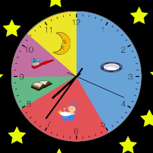
Displays a 24-hour analog with a sweeping second hand. It shows GPS coordinates, heading, and compass bearing based on device orientation. It uses location data in the foreground without saving or transmitting personal information.
by JOHN W GRANHOLM★ 4.435 ratingsEntertainment$0.99Data updated 2026-10-19
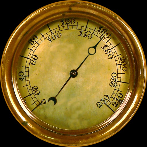
Provides real-time , atmospheric pressure, latitude, and longitude data. Users can switch between GPS and device altimeter for readings. Camera integration allows photo capture with location data overlay.
Explore famous and TV show filming globally. View scene stills, GPS coordinates, and 360° street views for each location. Use Google Maps integration to navigate and plan routes to destinations.
Play a car with endless arcade-style gameplay. Drive a WARRIOR style car, clear traffic by smashing enemies, and collect gas cans. Fire missiles, use nitro for speed, and dodge incoming missiles and oil slicks.
Navigation provides altitude, barometric pressure, and compass readings. Measures humidity, rainfall, and temperature. Includes magnifying glass, metronome, ruler, and spirit level. Displays speed, vertical speed, and VU meter.
Track time, , and distance using GPS. View through analog and digital displays. Monitor travel data with precise GPS tools. No manual setup required. Start tracking instantly upon movement.
The app presents a story where users navigate through a maze to escape a trap. Users build a mind map of the maze by choosing to evade, confront, and collect items correctly to progress through the narrative.
The app recreates the experience of old wooden clocks with ticking sounds and hourly chimes. It features custom graphics and a pendulum, offering a nostalgic look at timekeeping.
Track speed, average speed, maximum speed, and directional speed. Measure velocity made good and wind speed. Calculate the Pilot Performance Index to assess flight performance. Compare results with others or against autopilot settings.
The app provides offline mapping and GPS tracking on detailed Hema maps. Users can see their location on maps featuring roads, 4WD tracks, and topographic information to guide travel.
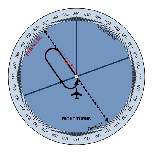
The app provides tools for sailors to take apparent bearings, showing the bearing taken, target course, and wheel correction. It also offers speed, real-time position, and assistance in determining wind direction.
GPS alarm wakes users at their destination using real-time location tracking. Set stop-based alerts for public transport routes. Syncs with train and bus operators for accurate timing. Displays current location and upcoming stops.
Displays latitude, longitude, and using GPS. Shows atmospheric pressure and boiling point of water at current location. Provides elevation data above sea level. Offers ad-free experience via in- purchase. No functional limitations.