Apps Like Speedometer GPS - Altitude for iPhone and iPad
Track , altitude, and distance
View current in mph, km/h, knots, and other units. Display altitude above sea level. Track max and altitude during trips. Monitor distance traveled in trips. Check on Apple Watch. Pro upgrade unlocks custom colors, HUD mode, and ad removal.
by Rounded Peak Studios LLC★ 4.884 ratingsNavigationFreeData updated 2026-09-18
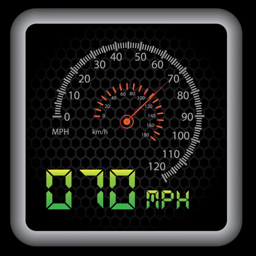
The app provides a heads-up display for a car, offering GPS-based speed information with MPH and KPH options. It includes digital and standard font modes, 12 and 24-hour clock options, and portrait and landscape orientations.
Display speed and heading with GPS accuracy. Show location of nearby speed cameras. Change speed units, prevent screen lock, and enable speed camera alerts in settings.
Display real-time speed with a digital interface and set speed alerts. Track routes on a built-in map, save trip history, and export tracks in GPX format. Switch between light and dark themes.
Add GPS data including date, time, latitude, longitude, altitude, weather, and compass to . Share geotagged images with friends to show travel locations. Track live location and embed it into captured .
Determine direction using a digital . Display azimuth at the top of the screen. Navigate while hiking or traveling. Indicate north, south, east, and west. Show magnetic field orientation.
Provide accurate GPS coordinates and altitude readings. Display direction and map integration. Enable location-based reminders and track movement routes. Adjust settings for different navigation modes.
Check altitude in real-time without network connection. Use the compass for direction. Measure speed with the velocimeter. Take photos with altitude and GPS data included.
Calculate altitude using GPS, ASTER, or barometer (iPhone 6 and later). Display average altitude from GPS and ASTER data. Show peaks, compass, and distance grid on an integrated map. Support Apple Watch. Choose unit of measurement.
Track speed with accurate GPS measurements and view average and maximum speed per trip. Choose units and monitor distance traveled and estimated travel time. Use turn-by-turn navigation to build routes.
Display GPS coordinates in DMS, DDM, or DD formats. Show altitude in feet or meters. Track speed with a speedometer. Share coordinates. Switch between magnetic and geodetic north. Use flashlight for nighttime. Provide location data.
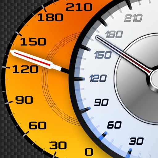
Track vehicle speed using GPS or simulation mode. View detailed speedometer displays with realistic graphics. Hear authentic engine during acceleration. Explore speed data from popular supercars.
The app tracks trips and exports data in gpx and kmz formats. It synchronizes local tracking data with a configurable OpenGTS server for fleet tracking.
Displays current course, speed, altitude, coordinates, orientation, and weather using GPS and compass. It includes advanced bookmarking, Street View, and live Flyover mapping features.