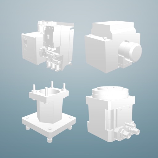
View facility information, maps, 3D pointclouds, and 3D photos. Access integrated workflows, data, and CAD schematics. Navigate and interact with facility details in a unified interface.
by Environmental Intellect, LLC★ 5.010 ratingsBusinessFreeData updated 2026-09-18
Manage workers' compensation claims by tracking injuries, viewing company statistics, and generating reports. Communicate with team members, set timed workflows, and manage policyholders. Monitor claim costs and update claim statuses.
Monitor and manage facility operations remotely. Track productivity, compliance, and plant growth. Assign tasks, log activities, and receive alerts. View real-time data and generate reports.
CADENAS Konstruktions-, Softwareentwicklungs- und Vertriebs GmbH
Download 3D CAD and catalogs
Access 3D CAD models from over 400 certified catalogs for mechanical engineering, automotive, and building industries. Download 2D and 3D compliant with major standards. Integrate models into and other CAD systems for design and procurement.
Access task data and dashboards for real-time insights. View and manage client requests with workflow tracking. nd share template reports. Securely log in and navigate solutions on mobile devices.
Manage field service projects with centralized data collection. Capture forms, photos, and status updates for projects. Monitor real-time activity and documentation. Streamline quality control and project closure.
Monitor shipments with real-time updates and tracking. View facility inventory and pricing data. Receive alerts for critical events. Submit and manage documentation remotely. Share data with stakeholders and partners.
Record and playback step-by-step training videos for skilled trades. workflows with AI to create instructional content. Share videos for on-the-job guidance. Track performance metrics and improve efficiency.
Plan and respond to chemical incidents using plume dispersion models integrated with Google Maps. Access real-time meteorological and gas sensor data. View and analyze hazard scenarios with the ALOHA® model.
Track grain shipments and receive real-time updates on harvest progress. View facility data, manage documentation, and access alerts. Set up notifications for critical updates and monitor operational metrics.
View and access maps and data in real time across any device. Share maps with others and set access permissions. Edit and update maps instantly for immediate business decision-making.
Track harvest progress in real time. View facility updates, manage equipment schedules, and receive alerts. Access historical data and export reports. Communicate with facility staff and set notification preferences.
Track items and view their locations within your facility. Search for items by name. Onboard new items via scanning. Customize alert preferences. Access detailed item information.
Create interactive architectural presentations using augmented reality. Import 3D models from Revit, SketchUp, and Maya directly. Preview models in real-time with spatial awareness. Annotate and highlight key features for stakeholders.
Create scaled architectural or mechanical drawings.
The app produces scaled architectural or mechanical drawings, or images for word processors. Users can edit, scale, move, rotate, mirror, trim, and copy individual objects.
Run enterprise applications on iPad or iPhone with full access to CAD/CAM tools like AutoCAD and Inventor. Use design apps such as Photoshop and Illustrator. Access browsers and plugins including Chrome and Firefox.
Access event schedules and receive push notifications. View venue maps and find resources, attendees, and sponsors. Interact with other attendees through a built-in platform.
Access corporate applications and desktops from mobile devices. Stream apps instantly and securely. Support for BYOD, RDP, RDS, VMware, and Citrix. Enable remote work with seamless delivery and desktop access.