View tide and current predictions based on official NOAA data. Search for stations by name or location. Save favorites for quick access. Explore interactive charts for detailed information. Set alerts for specific conditions.
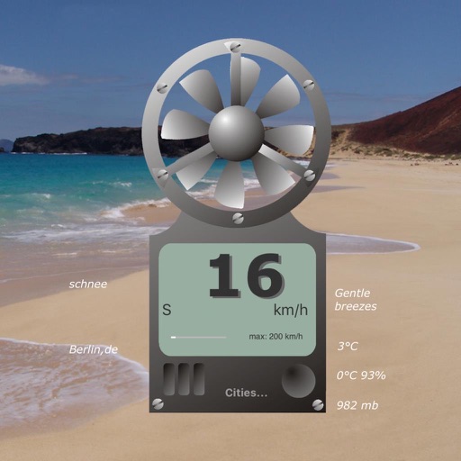
The app displays virtual wind speed, temperature, felt temperature, air humidity, and barometric pressure. Users can save six cities and view a four-day weather preview.
Calculate trajectories for firearms using precise ballistics data. Input and save firearm and ammunition details for quick access. Integrate with Kestrel and WeatherFlow devices via Bluetooth for atmospheric data.
Access real-time data with high-resolution radar and satellite imagery. View current conditions and forecasts updated hourly. Add and save favorite locations. Track severe movement with future radar predictions.
View real-time flight conditions and site information. Explore launch and landing sites globally. Access weather forecasts from multiple providers. Watch live webcams and view photos of locations. See valley wind patterns with directional arrows.
Track road conditions and weather in real time. Locate nearby cameras and view live timelapse videos. Check winter driving conditions, construction zones, and incidents. Access weather sensor data and filter camera sites by location or road name.
Monitor real-time data from stations. View forecasts and historical data for each location. Configure hardware settings and receive alerts. Track temperature, humidity, wind speed, and precipitation. Sync data with other devices and export reports.
Adjust text and colors for customizations. Modify interval, duration, and font size. Display information at airport, train station, bus station, concert, bar, school, or meeting.
View real-time weather data from the Genung's Fish Camp station. Check tidal predictions for the River at Route 206 Bridge. Learn about the mission and report pollution incidents. Access the store for related items.