Track wildfires in real time with maps showing current fire locations and spread. Receive alerts from verified sources including current and former firefighters. View detailed reports and updates from first responders and reporters.
The app displays current heading, course, speed, coordinates, and altitude. It offers street, topographic, and aerial maps, with cached maps available for a day.
Capture photos with integrated map data and weather information. Adjust settings including grid, aspect ratio, and manual map options. Edit images with map overlays and share directly.
Tracks location and sends data to a chosen server, saving data when offline and transmitting in batches. Configure tracking settings for detailed logs or battery-efficient mode. Monitor bike rides, runs, walks, car trips, and train journeys.
Display current direction, altitude, latitude, and longitude. Show real-time barometric pressure and movement speed. Track geographic location. Switch between "Classic" and "Sunset" visual themes with premium color schemes.
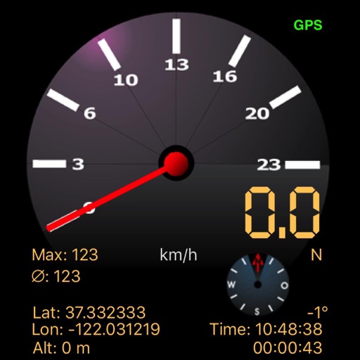
The app displays speed using GPS data, showing analog and digital readouts. It includes a compass, stopwatch, and supports multiple vehicle modes like Car, Airplane, and Sailboat.