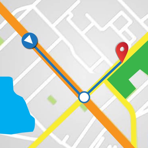
Displays real-time location on a road network with milepoint and route ID updates every second. Shows offline maps using locally stored base maps. Accesses road data without requiring internet connectivity after initial download.
Track vehicles, monitor routes, and share locations
Track vehicle movement with real-time GPS updates. View and save travel routes. Set destinations and receive turn-by-turn navigation. Monitor speed and fuel levels. Share location with contacts. Sync with maps for accurate directions.
Check real-time MetroRail train arrivals at nearby stations. Calculate walk or drive times for directions. View the system map for navigation. See elevator and escalator outages affecting your route. Receive alerts for train arrivals.
Search destinations, get shortest routes, navigate
Find locations and plan routes using a 2D map. Search for points of interest or destinations. View the shortest route on the map. Navigate with a simplified interface.