Access celestial objects with a comprehensive database of comets, asteroids, and solar system bodies. Plan and log observations, control telescopes, and track accurate positions. View detailed sky maps and receive real-time updates.
Weather "View current conditions, forecasts, and radar maps. Set location-based alerts. Customize notifications for severe weather. Share forecasts with others."
View marine forecasts for U.S. coastal zones. Check wind speed, wave height, and surf conditions. Access one-touch NOAA forecasts for today, tonight, and the week. Add locations for custom alerts.
Monitor and altitude using the device's internal sensor. Track changes to predict weather patterns. Provides altimeter readings for elevation awareness.
The app measures distances, perimeters, and areas with precision over satellite images. It calculates surface areas, dimensions for fencing, and more without needing to be on location.
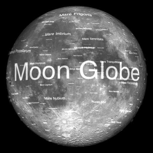
The app renders the Moon in realtime 3D using satellite imagery and topographic data. Users can manipulate the view, adjust sunlight, and see labeled terrain features and spacecraft.
Provides flight data management with downloadable weather briefings and dual data cycle support. It includes a glide ring for descent planning and a collapsible navlog for airway and procedure tracking.
Navigate with offline marine, lake, and outdoor maps. Access worldwide satellite and terrain overlays. View local weather forecasts. Use NOAA, USGS, and DRG data for detailed charting.
The app provides worldwide marine, lake, and outdoor maps, satellite imagery, and terrain features. It offers local weather forecasts, tide data, and community information for boaters and fishermen.
Explore with high-resolution maps and topographic details
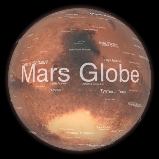
Explore a high-resolution 3D model of with topographic lighting and satellite data. Navigate the surface, view annotated features, and access information links. Take a guided tour or explore freely.
View topographic of the United States with options for standard or hybrid map sources. Download for offline use and track current location on the map. Navigate using map features and explore terrain details for outdoor activities.
Navigate using offline GPS charts and plot routes. View real-time position, speed, and depth. Mark waypoints and track progress. Share maps and charts securely. Set alarms for tides and weather. Sync with external devices for accurate .
Track catches, connect with anglers, share reports
Track catches and view reports from others in your area. Connect with anglers to share tips and experiences. Access real-time buoy data and 30-day tide solunar forecasts.
Navigate using high-resolution satellite imagery for Bay and Copper River watersheds. Access updated for accurate route planning. View real-time environmental changes. Mark and save fishing spots. Share locations with crew members.