Apps Like Altimeter for Aviators for iPhone and iPad
Measure altitude using barometric pressure
Measure altitude using barometric pressure without GPS. Display real-time altitude readings. Track pressure changes over time. Set altitude alerts. Sync with Apple Watch for stand-alone use.
by M Butler★ 4.7575 ratingsNavigationFreeData updated 2026-09-18
The app provides a compass for direction, a map for location and navigation, and an altimeter for measuring height above sea level. It also offers a sharing feature to send current positions with pictures and text to contacts.
Tracks location, speed, altitude, heading, acceleration, g-force, and atmospheric pressure. Retrieves and displays current weather data. Records tracks up to 10 minutes or 10 kilometers. Plays back tracks at multiple speeds.
View METAR and TAF reports for global airports. Access TFRs and NOTAMs for every airport. Receive AIRMETs, SIGMETs, and CWA alerts with worldwide coverage. See 3D runway views and airport diagrams for the U.S. and South Africa.
Calculate data using actual values from the Cessna 172P Pilot's Operating Handbook. Interpolate data for accurate flight planning. Support for Standard, Long Range, and Integral Fuel Tanks.
Calculate temperature and air pressure based on altitude. Read current altitude via GPS or ASTER data. Access device barometer for pressure readings. Search for any location's altitude using GeoNames. Manually adjust altitude settings.
The app displays real-time altitude in meters or feet using a GPS signal. It automatically detects the user's location and shows altitude, name, address, latitude, and longitude on a map.
The app calculates and interpolates performance data for the Arrow IV using pilot's operating handbook values. It computes mass and balance, takeoff and landing distances, climb data, cruise altitude, and stall speeds.
The app transforms devices into a compass with a rustic aesthetic and user-friendly interface. It provides location, altitude, and orientation using device sensors for navigation and everyday use.
Explore with high-resolution maps and topographic details
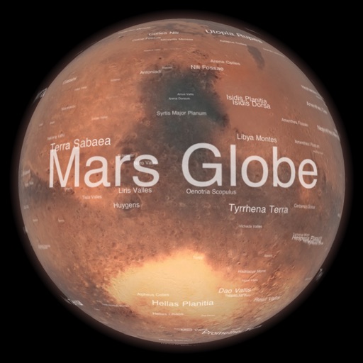
Explore a high-resolution 3D model of with topographic lighting and satellite data. Navigate the surface, view annotated features, and access information links. Take a guided tour or explore freely.
Provides GPS navigation with fast lock time and precise parameters. Supports multiple systems including GPS, Galileo, GLONASS, and QZSS. Diagnoses location issues and suggests fixes. Includes latitude, longitude, and WGS84 by default.
View and convert geographic across multiple formats and datums. Manage locations with an intuitive interface. Display current location at the intersection of two grey lines. Export in various global systems.
Calculate performance data using actual Cessna 172R POH values. Interpolate and display results in high-resolution graphics. Complete flight planning with instant updates. Track mass and balance calculations.
The app calculates and interpolates performance data for the Cessna 182P using its Pilot's Operating Handbook. It allows users to complete flight planning quickly and experiment with results using sliders for various scenarios.