
FoodTruck
Inter-Med Media Oktatasi, Kereskedelmi es Szolgaltato Korlatolt Felelossegu Tarsasag

Showing 701–720 of 1,000 ranked alternatives.
Inter-Med Media Oktatasi, Kereskedelmi es Szolgaltato Korlatolt Felelossegu Tarsasag



Flying Neurons
Detect aircraft and track flight status
Detects nearby aircraft using Bluetooth connection. Provides collision risk level for surrounding aircraft. Supports tracking of Neurone, FLARM, ADSB, and Mode S/C transponders. Sends flight data to for live or delayed tracking.





Grematech Communication
Find any address in Ireland.
The app provides a tool to find any address in Ireland using the Eircode system. An Eircode is a unique 7-character code that identifies specific addresses within Ireland.
Elen Bekzadyan
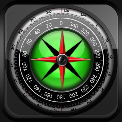
Track device orientation and magnetic fields
Displays real-time device orientation relative to magnetic fields. Switch between true and magnetic North. Shows location coordinates, course, speed, and altitude. Tracks movement and provides directional data.

Meik Schuetz
Find petrol stations and track prices
Find the nearest petrol stations with current prices for Diesel, Super, and Unleaded. Set preferred regions to search for cheaper fuel options. Compare prices and locate stations based on defined areas.

Compusult Limited
Mobile geospatial tool for incident management.
The app provides mapping visualization and awareness for in-field data collectors. It allows users to collect, share, and access geospatial information in connected or disconnected environments.


Solvares FSM GmbH
Direct mobile team contact and data.
The app provides technicians with direct contact to their mobile team and relevant job data. Technicians can process work orders digitally, with all information centrally available for ordering, entry, reports, and signatures.

Apps are ranked by functional similarity, category fit, rating confidence, and popularity.