The app learns user habits to suggest the next connection without input. Its live map displays public transport vehicle locations and vehicle availability for easier planning.
The app provides door position information for every London Underground station. It details interchange corridors, passageways, and lifts, and includes data for Overground and Docklands Light Railway stations.
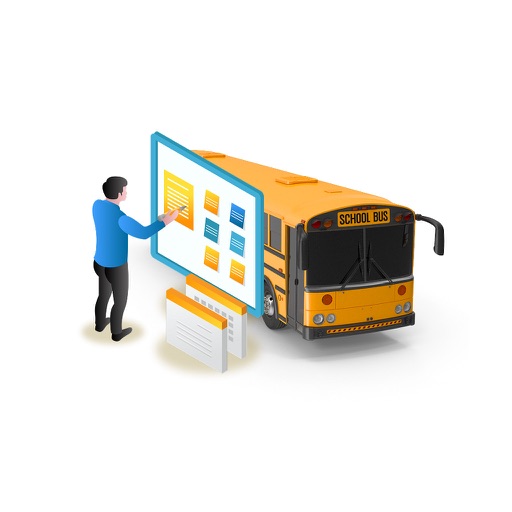
Track vehicles and other transport assets in real time. View electronic trip logs and historical data. Receive location updates and alerts. Manage user permissions and access settings. Control connected devices remotely.
The app provides public transport information for Bari using official GTFS data. Users can find nearby stops, check schedules and routes, and calculate itineraries.